Transport Functions
Multimodal
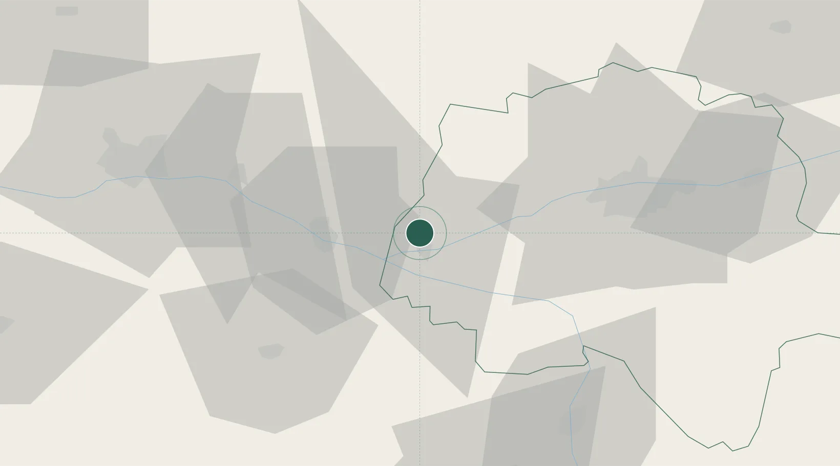
Hub Profile
Place type
Populated place
Region
Centre-Val de Loire
Population
4,359
Time zone
Europe/Paris
Elevation
47 m
Location
Nearby Logistics Neighbours
Cities
- 1Restigné5 km
- 2Ingrandes-de-Touraine8 km
- 3Avoine9 km
- 4Beaumont-en-Véron9 km
- 5Varennes-sur-Loire12 km
Ports
- 1Nantes131 km
- 2La Rochelle161 km
- 3La Pallice163 km
- 4Tonnay Charente171 km
- 5Rochefort173 km
Airports
- 1Tours Val de Loire Airport45 km
- 2Angers Marcé airport47 km
- 3Le Mans-Arnage Airport74 km
- 4Poitiers-Biard Airport78 km
- 5Laval-Entrammes Airport108 km
Trade Zones
- 1ZFU Angers62 km
- 2ZFU Le Mans78 km
- 3ZFU Blois89 km
- 4ZFU Alençon128 km
- 5ZFU Nantes et Saint-Herblain141 km
DatabookThe Record of Consolidated Knowledge
France beyond logistics?