UN/LOCODE hub · France
FRMZZ
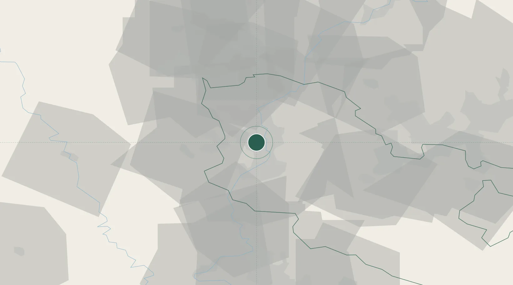
Maizières-lès-Metz
49.2167°, 6.1500°
9,845
Population
2
Transport functions
Transport Functions
Rail
Road
Hub Profile
Place type
Populated place
Region
Grand Est
Population
9,845
Time zone
Europe/Paris
Elevation
165 m
Location
Nearby Logistics Neighbours
Cities
- 1Hagondange4 km
- 2Argancy4 km
- 3La Maxe6 km
- 4Woippy7 km
- 5Richemont8 km
Airports
Trade Zones
- 1ZFU Woippy-Metz7 km
- 2ZFU Metz13 km
- 3Luxembourg Free Port47 km
- 4ZFU Maxéville, Laxou, et de Nancy57 km
- 5ZFU La Cité Behren-lès-Forbach57 km
DatabookThe Record of Consolidated Knowledge
France beyond logistics?