Transport Functions
Multimodal
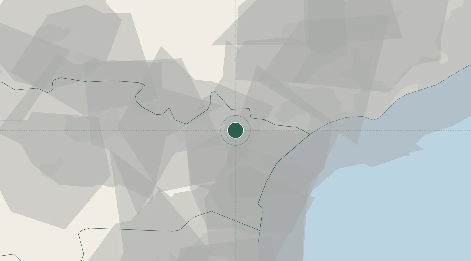
Hub Profile
Place type
Populated place
Region
Occitanie
Population
1,255
Time zone
Europe/Paris
Elevation
54 m
Location
Nearby Logistics Neighbours
Cities
- 1Cuxac-d'Aude5 km
- 2Névian5 km
- 3Mirepeisset7 km
- 4Narbonne7 km
- 5Canet8 km
Ports
- 1Port-La-Nouvelle26 km
- 2Sete63 km
- 3Port-Vendres81 km
- 4Rosas109 km
- 5Port Saint Louis Du Rhone152 km
Airports
Trade Zones
- 1ZFU Béziers24 km
- 2ZFU Perpignan60 km
- 3ZFU Montpellier83 km
- 4ZFU Toulouse129 km
- 5ZFU Nîmes130 km
DatabookThe Record of Consolidated Knowledge
France beyond logistics?