Transport Functions
Multimodal
Hub Profile
Place type
Populated place
Region
Occitanie
Population
1,160
Time zone
Europe/Paris
Elevation
29 m
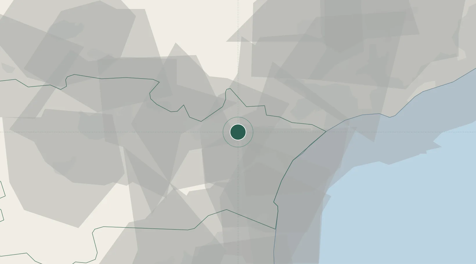
Location
Nearby Logistics Neighbours
Cities
- 1Canet5 km
- 2Moussan5 km
- 3Paraza7 km
- 4Ornaisons7 km
- 5Mirepeisset7 km
Ports
- 1Port-La-Nouvelle26 km
- 2Sete68 km
- 3Port-Vendres80 km
- 4Rosas108 km
- 5Palamos155 km
Airports
Trade Zones
- 1ZFU Béziers29 km
- 2ZFU Perpignan58 km
- 3ZFU Montpellier88 km
- 4ZFU Toulouse125 km
- 5ZFU Nîmes135 km
DatabookThe Record of Consolidated Knowledge
France beyond logistics?