Transport Functions
Multimodal
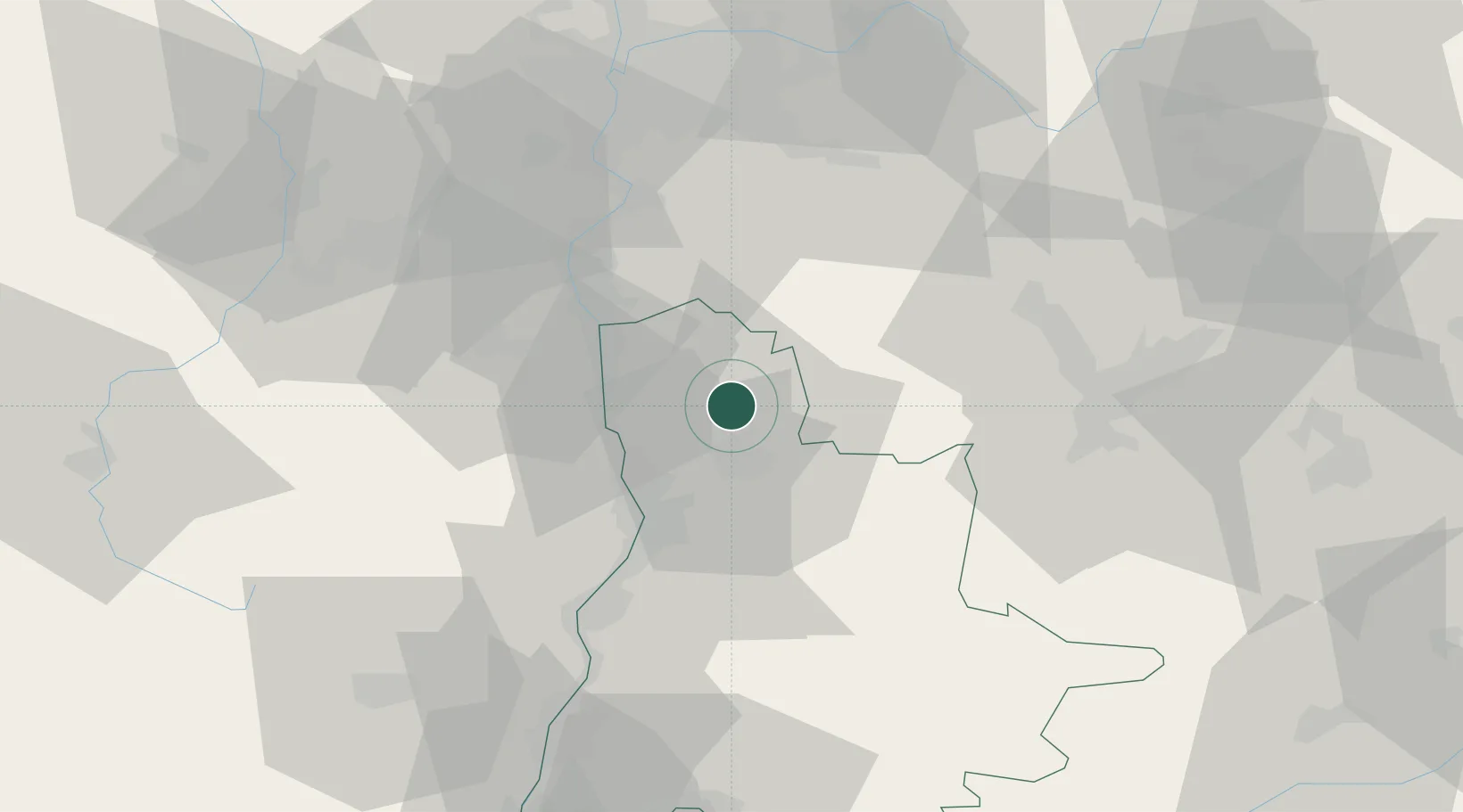
Hub Profile
Place type
Populated place
Region
Rhône-Alpes
Population
781
Time zone
Europe/Paris
Elevation
294 m
Location
Nearby Logistics Neighbours
Cities
- 1Bren9 km
- 2Clérieux10 km
- 3Chatillon-Saint-Jean10 km
- 4Hauterives11 km
- 5Chanos-Curson14 km
Ports
- 1Fos193 km
- 2Port-de-Bouc195 km
- 3Port Saint Louis Du Rhone197 km
- 4Marseille205 km
- 5Sete222 km
Airports
Trade Zones
- 1ZFU Valence30 km
- 2ZFU Grenoble50 km
- 3ZFU Vénissieux63 km
- 4ZFU Saint-Etienne66 km
- 5ZFU Vaulx-en-Velin71 km
DatabookThe Record of Consolidated Knowledge
France beyond logistics?