Transport Functions
Multimodal
Hub Profile
Place type
Populated place
Region
Rhône-Alpes
Population
1,963
Time zone
Europe/Paris
Elevation
167 m
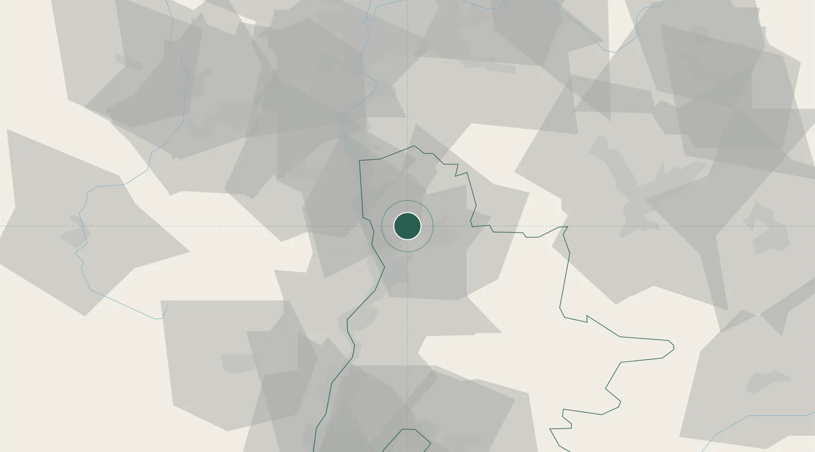
Location
Nearby Logistics Neighbours
Cities
- 1Chanos-Curson4 km
- 2Bren6 km
- 3Larnage8 km
- 4Beaumont-Monteux8 km
- 5Margès10 km
Ports
- 1Fos185 km
- 2Port-de-Bouc187 km
- 3Port Saint Louis Du Rhone189 km
- 4Marseille199 km
- 5Sete213 km
Airports
Trade Zones
- 1ZFU Valence20 km
- 2ZFU Grenoble57 km
- 3ZFU Saint-Etienne65 km
- 4ZFU Vénissieux69 km
- 5ZFU Vaulx-en-Velin78 km
DatabookThe Record of Consolidated Knowledge
France beyond logistics?