Transport Functions
Port
Multimodal
Hub Profile
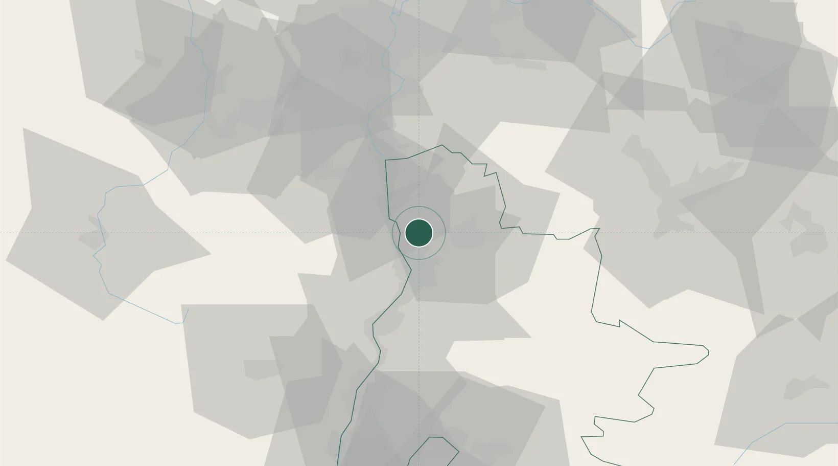
Place type
Populated place
Region
Rhône-Alpes
Population
1,018
Time zone
Europe/Paris
Elevation
222 m
Location
Nearby Logistics Neighbours
Cities
- 1Clérieux4 km
- 2Larnage4 km
- 3Beaumont-Monteux6 km
- 4Tournon-sur-Rhône7 km
- 5Mauves8 km
Ports
- 1Fos184 km
- 2Port-de-Bouc185 km
- 3Port Saint Louis Du Rhone187 km
- 4Marseille198 km
- 5Sete209 km
Airports
Trade Zones
- 1ZFU Valence17 km
- 2ZFU Grenoble61 km
- 3ZFU Saint-Etienne63 km
- 4ZFU Vénissieux70 km
- 5ZFU Lyon 9e79 km
DatabookThe Record of Consolidated Knowledge
France beyond logistics?