Transport Functions
Multimodal
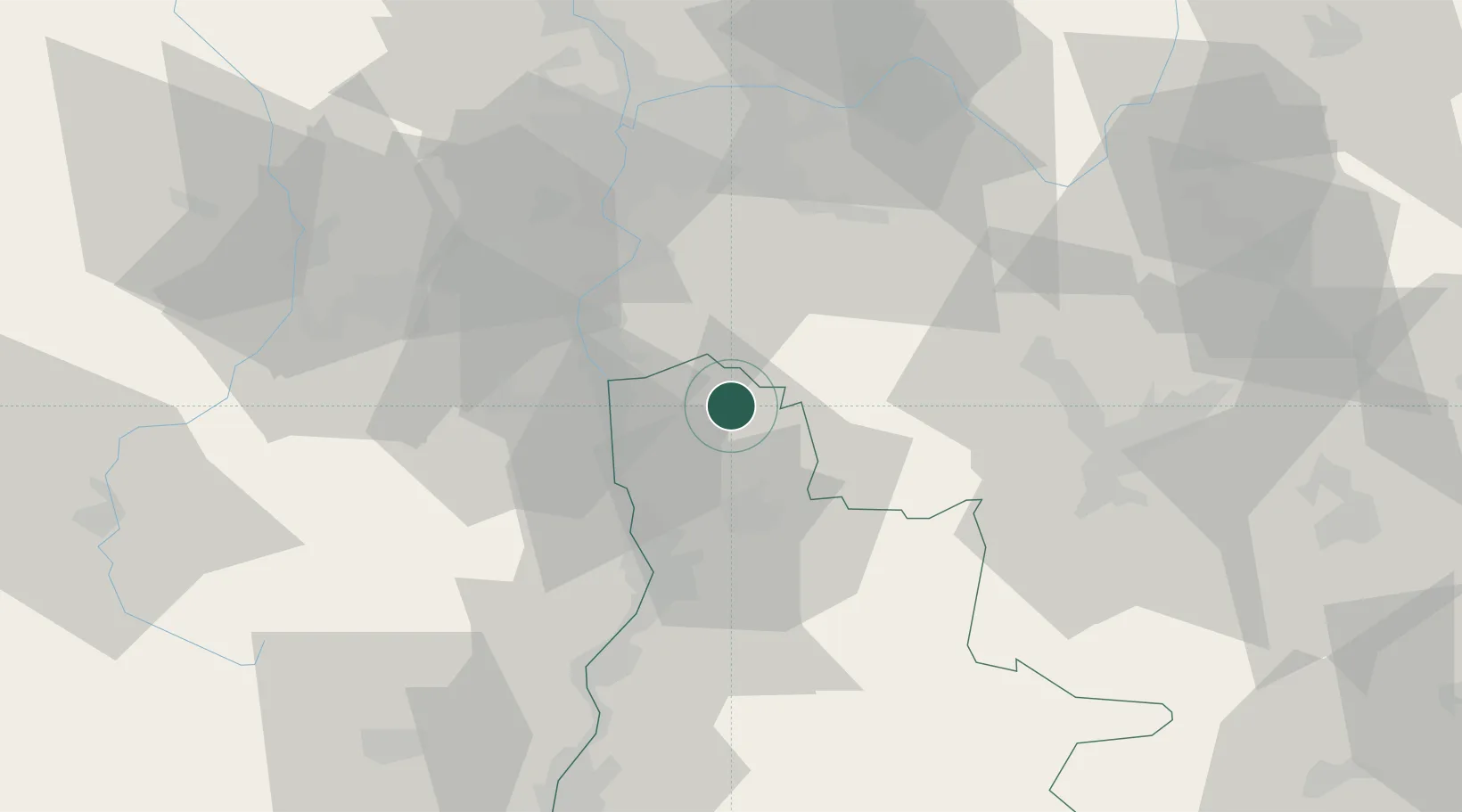
Hub Profile
Place type
Populated place
Region
Rhône-Alpes
Population
1,438
Time zone
Europe/Paris
Elevation
362 m
Location
Nearby Logistics Neighbours
Cities
- 1Margès11 km
- 2Jarcieu12 km
- 3Viriville15 km
- 4Bren15 km
- 5Bellegarde-Poussieu16 km
Ports
- 1Fos204 km
- 2Port-de-Bouc206 km
- 3Port Saint Louis Du Rhone208 km
- 4Marseille217 km
- 5Sete231 km
Airports
Trade Zones
- 1ZFU Valence39 km
- 2ZFU Grenoble51 km
- 3ZFU Vénissieux52 km
- 4ZFU Vaulx-en-Velin60 km
- 5ZFU Saint-Etienne61 km
DatabookThe Record of Consolidated Knowledge
France beyond logistics?