UN/LOCODE hub · France
FRCXA

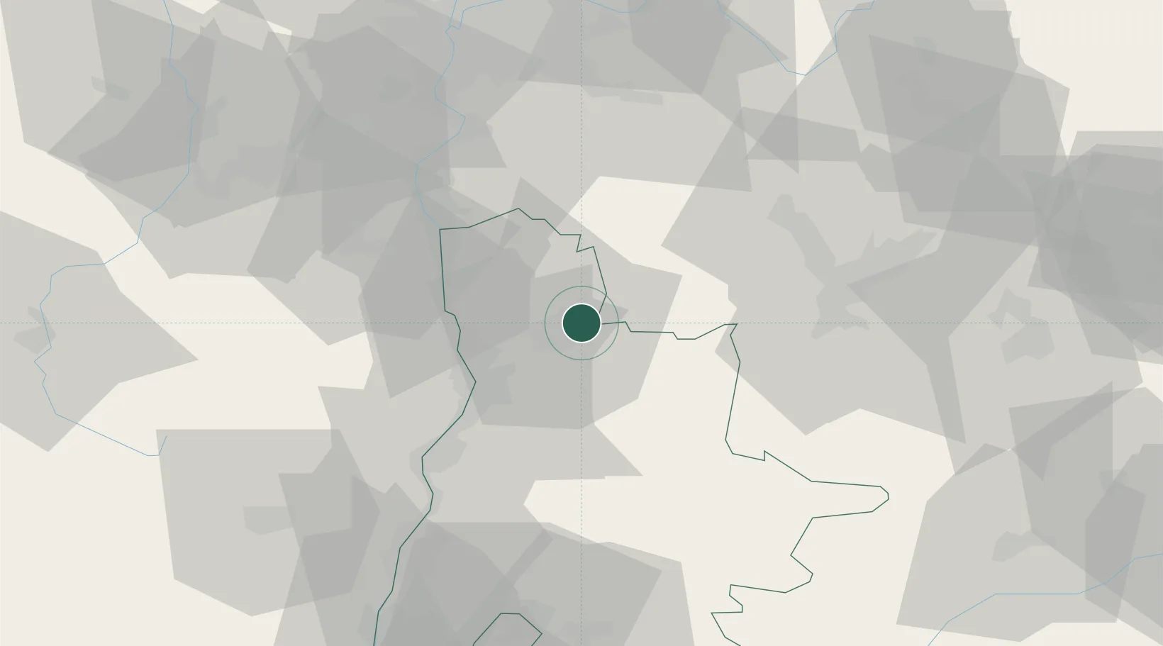
Chatillon-Saint-Jean

45.0833°, 5.1333°
942
Population
1
Transport functions

Transport Functions

Port
UN/LOCODE

Hub Profile

Place type
Populated place
GeoNames
Region
Rhône-Alpes
GeoNames
Population
942
GeoNames
Time zone
Europe/Paris
GeoNames
Elevation
199 m
GeoNames

Location

Location of FRCXA
Natural Earth 10m (public domain) · Rhône-Alpes · FRCXA · 45.08, 5.13GoogleOSMYandex

Nearby Logistics Neighbours

Cities
  1. 1Jaillans7 km
  2. 2Saint-Hilaire-du-Rosier8 km
  3. 3Margès10 km
  4. 4La Motte-Fanjas11 km
  5. 5Clérieux13 km
Nearest neighbours — logibook spatial index (haversine) over the source coordinates
Ports
  1. 1Fos186 km
  2. 2Port-de-Bouc188 km
  3. 3Port Saint Louis Du Rhone191 km
  4. 4Marseille197 km
  5. 5Sete219 km
Nearest neighbours — logibook spatial index (haversine) over the source coordinates
Airports
  1. 1Valence-Chabeuil Airport22 km
  2. 2Grenoble Alpes Isère Airport35 km
  3. 3Lyon Saint-Exupéry Airport72 km
  4. 4Lyon Bron Airport73 km
  5. 5Saint-Étienne-Bouthéon Airport83 km
Nearest neighbours — logibook spatial index (haversine) over the source coordinates
Trade Zones
  1. 1ZFU Valence29 km
  2. 2ZFU Grenoble44 km
  3. 3ZFU Vénissieux72 km
  4. 4ZFU Saint-Etienne76 km
  5. 5ZFU Vaulx-en-Velin79 km
Nearest neighbours — logibook spatial index (haversine) over the source coordinates
DatabookThe Record of Consolidated Knowledge
France beyond logistics?
Browse databook

All Sources

LocationsUN/LOCODE
UN/LOCODE — free
LocationsGeoNames
CC BY 4.0
Portsthe NGA World Port Index
Public domain (US gov)
AirportsOurAirports
Public domain
Trade Zonesthe World Bank SEZ database
CC BY 4.0
Trade ZonesOpen Zone Map
CC BY
← France locations