UN/LOCODE hub · France
FRZBT
Boisset-lès-Montrond
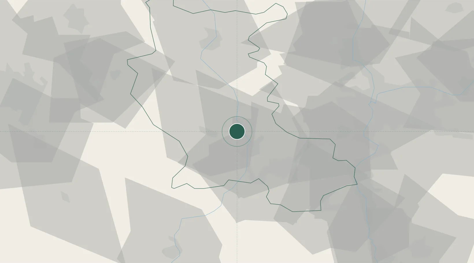
45.6167°, 4.2000°
841
Population
1
Transport functions
Transport Functions
Multimodal
Hub Profile
Place type
Populated place
Region
Rhône-Alpes
Population
841
Time zone
Europe/Paris
Elevation
344 m
Location
Nearby Logistics Neighbours
Cities
- 1Savigneux9 km
- 2Montbrison11 km
- 3Bonson11 km
- 4Champdieu12 km
- 5Marcilly-le-Châtel15 km
Ports
- 1Sete250 km
- 2Fos251 km
- 3Port Saint Louis Du Rhone253 km
- 4Port-de-Bouc254 km
- 5Marseille272 km
Airports
- 1Saint-Étienne-Bouthéon Airport11 km
- 2Roanne-Renaison Airport51 km
- 3Lyon Bron Airport59 km
- 4Le Puy-Loudes Airfield69 km
- 5Lyon Saint-Exupéry Airport70 km
Trade Zones
- 1ZFU Saint-Etienne23 km
- 2ZFU Lyon 9e50 km
- 3ZFU Vénissieux51 km
- 4ZFU Rillieux-la-Pape56 km
- 5ZFU Vaulx-en-Velin59 km
DatabookThe Record of Consolidated Knowledge
France beyond logistics?