UN/LOCODE hub · France
FRMB4

Montséret

43.1000°, 2.8167°
428
Population
1
Transport functions

Transport Functions

Multimodal
UN/LOCODE

Hub Profile

Place type
Populated place
GeoNames
Region
Occitanie
GeoNames
Population
428
GeoNames
Time zone
Europe/Paris
GeoNames
Elevation
87 m
GeoNames

Location

Location of FRMB4
Natural Earth 10m (public domain) · Occitanie · FRMB4 · 43.10, 2.82GoogleOSMYandex

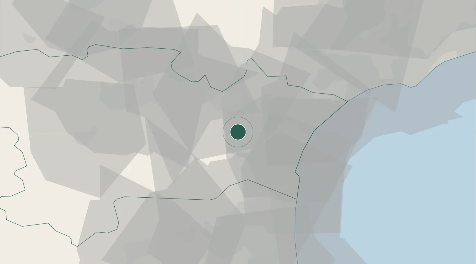
Nearby Logistics Neighbours

Cities
  1. 1Saint-André-de-Roquelongue2 km
  2. 2Fontjoncouse8 km
  3. 3Ferrals-les-Corbières9 km
  4. 4Cruscades9 km
  5. 5Ornaisons9 km
Nearest neighbours — logibook spatial index (haversine) over the source coordinates
Ports
  1. 1Port-La-Nouvelle22 km
  2. 2Port-Vendres69 km
  3. 3Sete79 km
  4. 4Rosas97 km
  5. 5Palamos143 km
Nearest neighbours — logibook spatial index (haversine) over the source coordinates
Airports
  1. 1Perpignan-Rivesaltes (Llabanère) Airport40 km
  2. 2Carcassonne Salvaza Airport43 km
  3. 3Béziers Vias airport50 km
  4. 4Castres Mazamet Airport66 km
  5. 5Montpellier-Méditerranée Airport107 km
Nearest neighbours — logibook spatial index (haversine) over the source coordinates
Trade Zones
  1. 1ZFU Béziers42 km
  2. 2ZFU Perpignan45 km
  3. 3ZFU Montpellier100 km
  4. 4ZFU Toulouse125 km
  5. 5ZFU Nîmes147 km
Nearest neighbours — logibook spatial index (haversine) over the source coordinates
DatabookThe Record of Consolidated Knowledge
France beyond logistics?
Browse databook

All Sources

LocationsUN/LOCODE
UN/LOCODE — free
LocationsGeoNames
CC BY 4.0
Portsthe NGA World Port Index
Public domain (US gov)
AirportsOurAirports
Public domain
Trade Zonesthe World Bank SEZ database
CC BY 4.0
Trade ZonesOpen Zone Map
CC BY
← France locations