Transport Functions
Multimodal
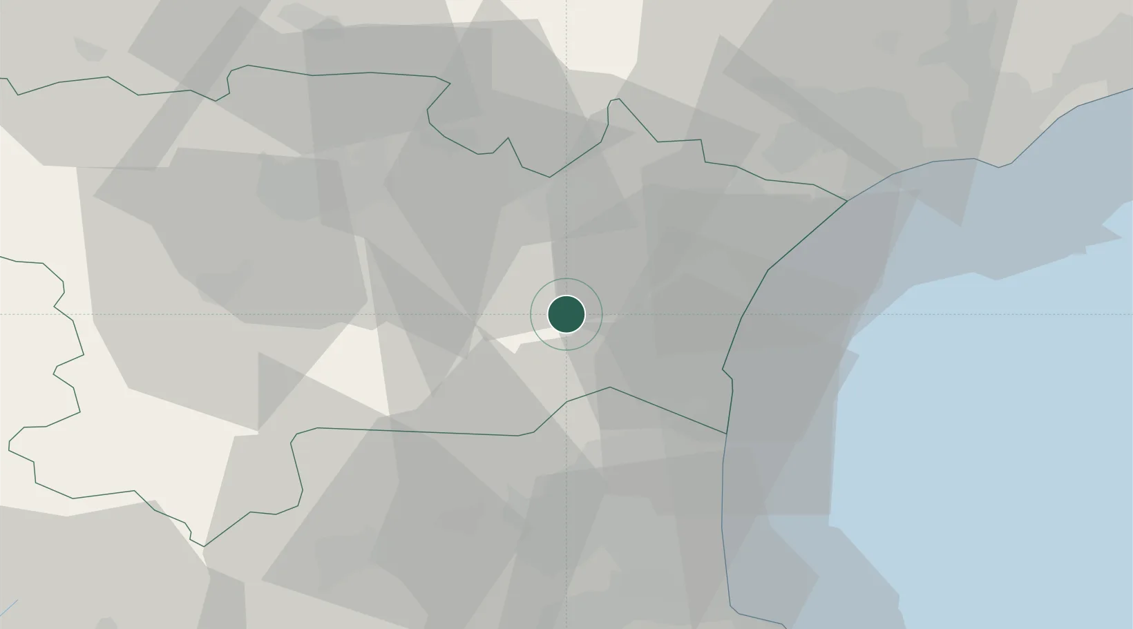
Hub Profile
Place type
Populated place
Region
Occitanie
Population
127
Time zone
Europe/Paris
Elevation
259 m
Location
Nearby Logistics Neighbours
Cities
- 1Durban-Corbières5 km
- 2Villesèque-des-Corbières6 km
- 3Cascastel-des-Corbières6 km
- 4Villeneuve-les-Corbières8 km
- 5Montséret8 km
Ports
- 1Port-La-Nouvelle23 km
- 2Port-Vendres64 km
- 3Sete85 km
- 4Rosas91 km
- 5Palamos136 km
Airports
Trade Zones
- 1ZFU Perpignan38 km
- 2ZFU Béziers49 km
- 3ZFU Montpellier107 km
- 4ZFU Toulouse126 km
- 5ZFU Nîmes154 km
DatabookThe Record of Consolidated Knowledge
France beyond logistics?