Transport Functions
Port
Multimodal
Hub Profile
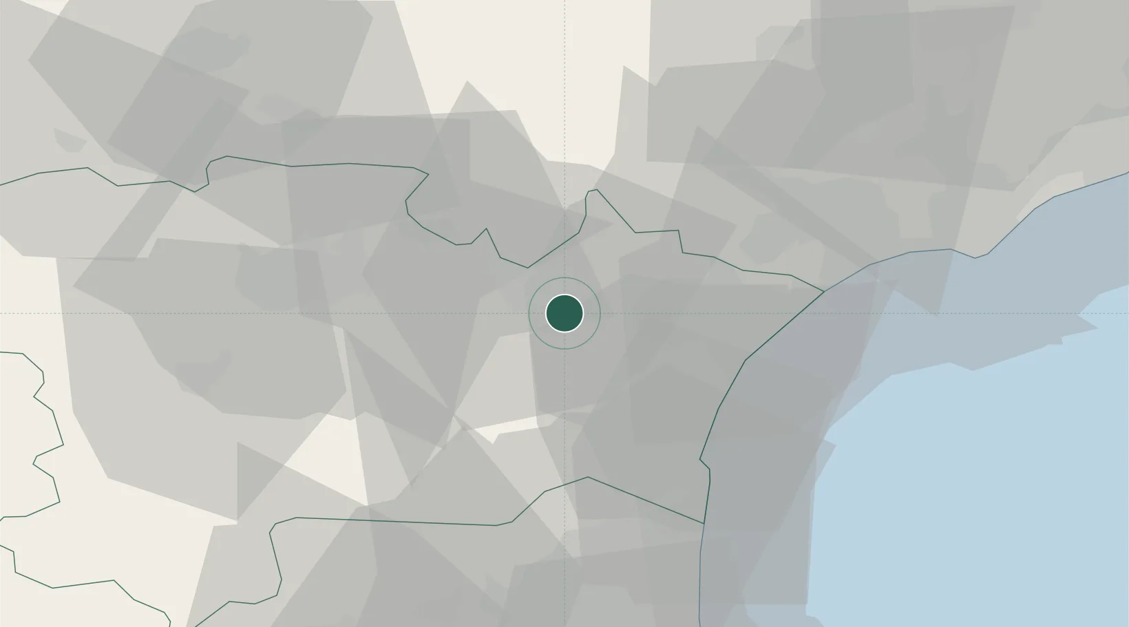
Place type
Populated place
Region
Occitanie
Population
343
Time zone
Europe/Paris
Elevation
41 m
Location
Nearby Logistics Neighbours
Cities
- 1Ornaisons1 km
- 2Luc-sur-Orbieu3 km
- 3Canet6 km
- 4Paraza8 km
- 5Roubia8 km
Ports
- 1Port-La-Nouvelle28 km
- 2Sete75 km
- 3Port-Vendres78 km
- 4Rosas106 km
- 5Palamos152 km
Airports
Trade Zones
- 1ZFU Béziers37 km
- 2ZFU Perpignan54 km
- 3ZFU Montpellier96 km
- 4ZFU Toulouse121 km
- 5ZFU Nîmes142 km
DatabookThe Record of Consolidated Knowledge
France beyond logistics?