UN/LOCODE hub · France
FRMA6

Montesquieu-des-Albères

42.5167°, 2.8667°
1
Transport functions

Transport Functions

Multimodal
UN/LOCODE

Hub Profile

Region
66
GeoNames

Location

Location of FRMA6
Natural Earth 10m (public domain) · 66 · FRMA6 · 42.52, 2.87GoogleOSMYandex

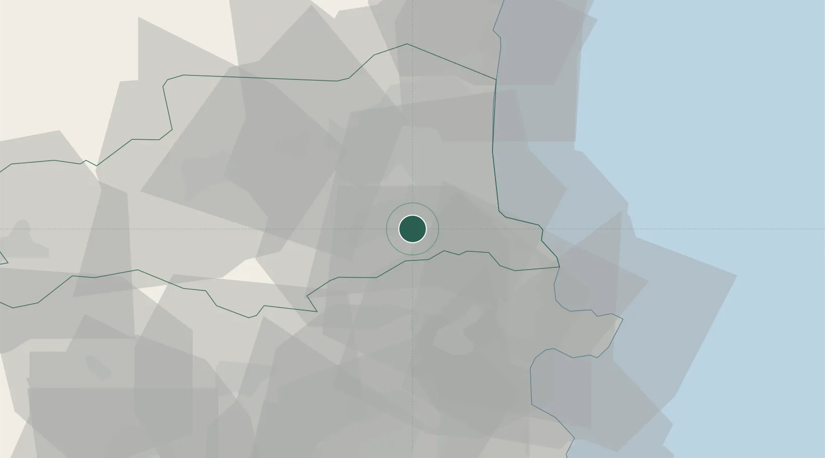
Nearby Logistics Neighbours

Cities
  1. 1Le Boulou3 km
  2. 2Tresserre6 km
  3. 3Saint-Jean-Pla-de-Corts7 km
  4. 4Sorède7 km
  5. 5Villemolaque8 km
Nearest neighbours — logibook spatial index (haversine) over the source coordinates
Ports
  1. 1Port-Vendres21 km
  2. 2Rosas38 km
  3. 3Port-La-Nouvelle58 km
  4. 4Palamos79 km
  5. 5San Feliu De Guixols83 km
Nearest neighbours — logibook spatial index (haversine) over the source coordinates
Airports
  1. 1Perpignan-Rivesaltes (Llabanère) Airport25 km
  2. 2Girona-Costa Brava Airport69 km
  3. 3Folgueroles Airfield78 km
  4. 4Carcassonne Salvaza Airport90 km
  5. 5Béziers Vias airport98 km
Nearest neighbours — logibook spatial index (haversine) over the source coordinates
Trade Zones
  1. 1ZFU Perpignan20 km
  2. 2ZFU Béziers95 km
  3. 3ZFU Montpellier145 km
  4. 4Zona Franca de Barcelona145 km
  5. 5ZFU Toulouse167 km
Nearest neighbours — logibook spatial index (haversine) over the source coordinates
DatabookThe Record of Consolidated Knowledge
France beyond logistics?
Browse databook

All Sources

LocationsUN/LOCODE
UN/LOCODE — free
Portsthe NGA World Port Index
Public domain (US gov)
AirportsOurAirports
Public domain
Trade Zonesthe World Bank SEZ database
CC BY 4.0
Trade ZonesOpen Zone Map
CC BY
← France locations