Transport Functions
Multimodal
Hub Profile
Region
66
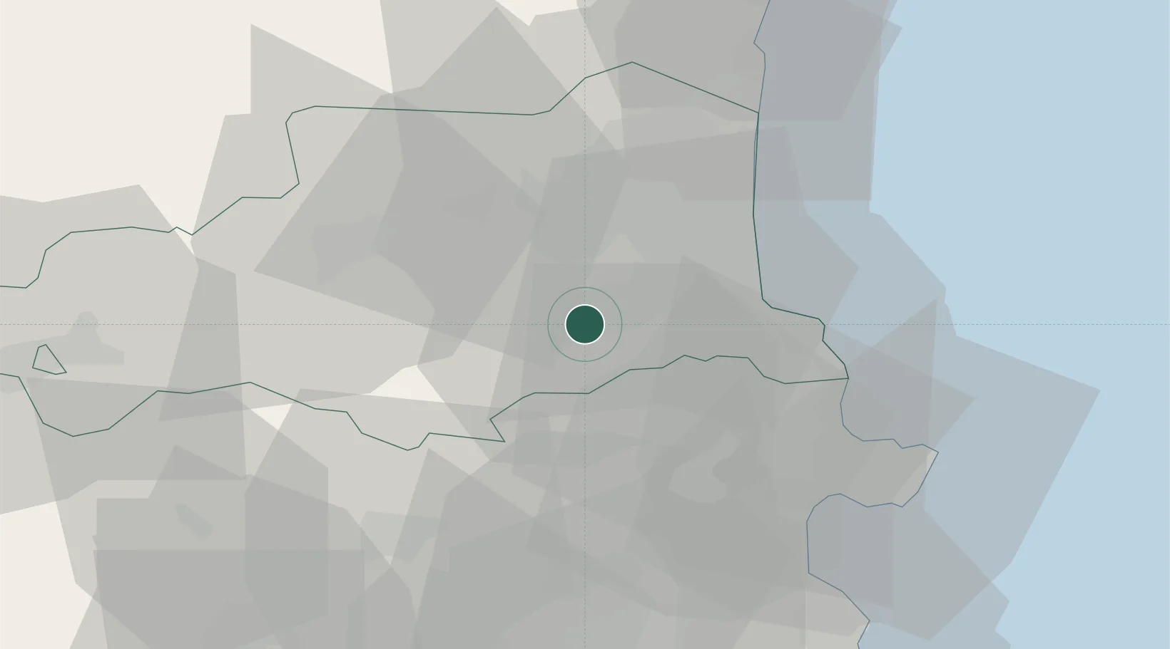
Location
Nearby Logistics Neighbours
Cities
- 1Le Boulou4 km
- 2Montesquieu-des-Albères7 km
- 3Tresserre7 km
- 4Passa8 km
- 5Villemolaque9 km
Ports
- 1Port-Vendres27 km
- 2Rosas43 km
- 3Port-La-Nouvelle60 km
- 4Palamos81 km
- 5San Feliu De Guixols84 km
Airports
Trade Zones
- 1ZFU Perpignan22 km
- 2ZFU Béziers98 km
- 3Zona Franca de Barcelona142 km
- 4ZFU Montpellier149 km
- 5ZFU Toulouse163 km
DatabookThe Record of Consolidated Knowledge
France beyond logistics?