Transport Functions
Rail
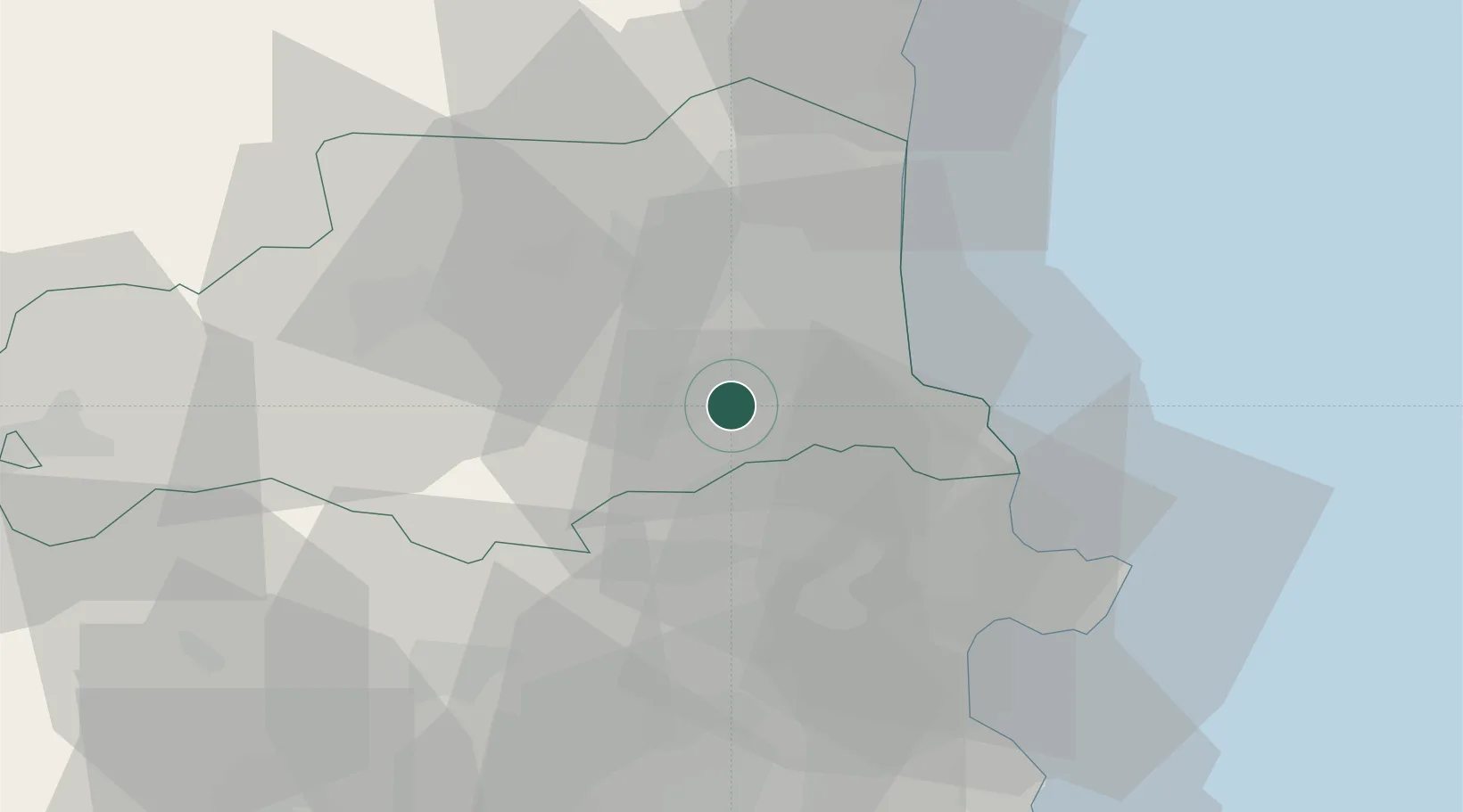
Hub Profile
Place type
Populated place
Region
Occitanie
Population
4,952
Time zone
Europe/Paris
Elevation
87 m
Location
Nearby Logistics Neighbours
Cities
- 1Montesquieu-des-Albères3 km
- 2Saint-Jean-Pla-de-Corts4 km
- 3Tresserre6 km
- 4Villemolaque7 km
- 5Passa8 km
Ports
- 1Port-Vendres23 km
- 2Rosas40 km
- 3Port-La-Nouvelle59 km
- 4Palamos80 km
- 5San Feliu De Guixols83 km
Airports
Trade Zones
- 1ZFU Perpignan21 km
- 2ZFU Béziers96 km
- 3Zona Franca de Barcelona144 km
- 4ZFU Montpellier146 km
- 5ZFU Toulouse166 km
DatabookThe Record of Consolidated Knowledge
France beyond logistics?