Transport Functions
Road
Multimodal
Hub Profile
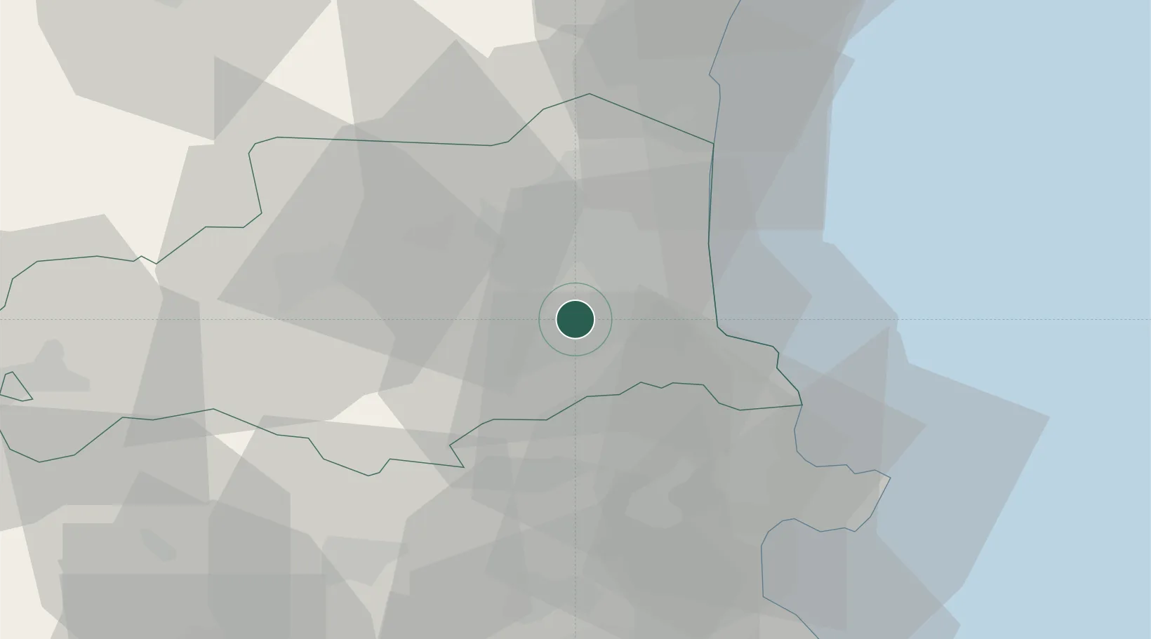
Place type
Populated place
Region
Occitanie
Population
697
Time zone
Europe/Paris
Elevation
147 m
Location
Nearby Logistics Neighbours
Cities
- 1Villemolaque2 km
- 2Passa2 km
- 3Le Boulou6 km
- 4Trouillas6 km
- 5Montesquieu-des-Albères6 km
Ports
- 1Port-Vendres24 km
- 2Rosas44 km
- 3Port-La-Nouvelle54 km
- 4Palamos85 km
- 5San Feliu De Guixols89 km
Airports
Trade Zones
- 1ZFU Perpignan16 km
- 2ZFU Béziers91 km
- 3ZFU Montpellier142 km
- 4Zona Franca de Barcelona149 km
- 5ZFU Toulouse162 km
DatabookThe Record of Consolidated Knowledge
France beyond logistics?