UN/LOCODE hub · France
FRURC

Saint-Pourçain-sur-Sioule
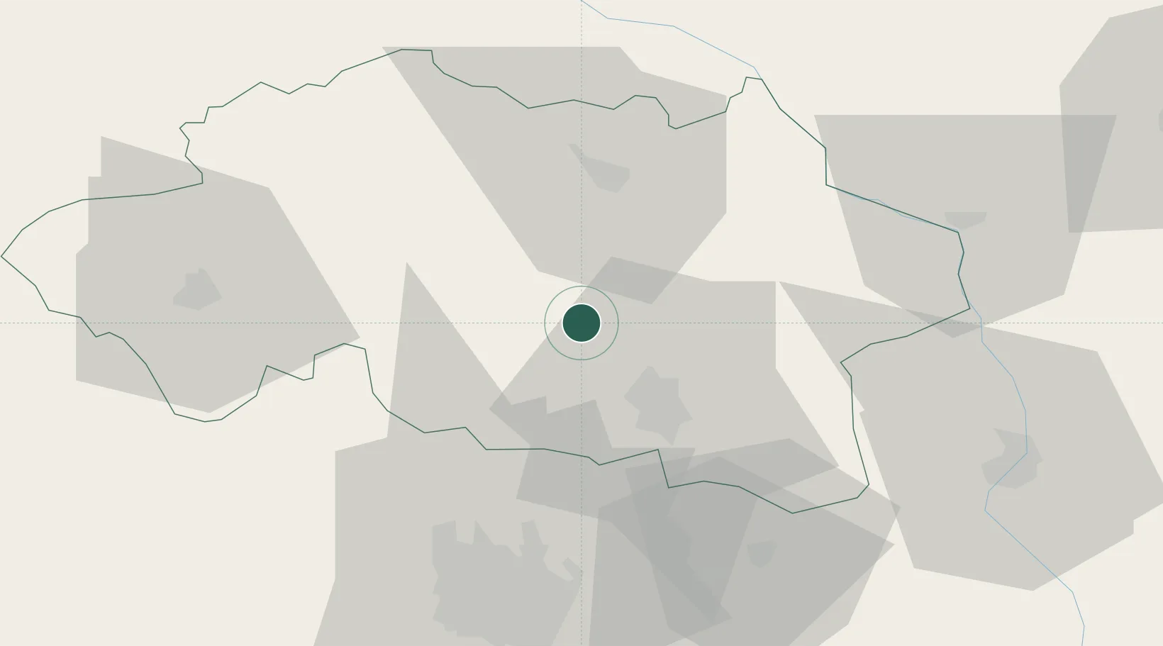
46.3000°, 3.3000°
5,480
Population
2
Transport functions

Transport Functions

Rail
Road
UN/LOCODE

Hub Profile

Place type
Populated place
GeoNames
Region
Rhône-Alpes
GeoNames
Population
5,480
GeoNames
Time zone
Europe/Paris
GeoNames
Elevation
250 m
GeoNames

Location

Location of FRURC
Natural Earth 10m (public domain) · Rhône-Alpes · FRURC · 46.30, 3.30GoogleOSMYandex

Nearby Logistics Neighbours

Cities
  1. 1Saulcet5 km
  2. 2Cesset6 km
  3. 3Étroussat11 km
  4. 4Meillard12 km
  5. 5Orcet15 km
Nearest neighbours — logibook spatial index (haversine) over the source coordinates
Ports
  1. 1Sete324 km
  2. 2Tonnay Charente326 km
  3. 3Rochefort330 km
  4. 4Ambes330 km
  5. 5Blaye334 km
Nearest neighbours — logibook spatial index (haversine) over the source coordinates
Airports
  1. 1Vichy-Charmeil Airport17 km
  2. 2Saint-Yan Airport56 km
  3. 3Clermont-Ferrand Auvergne airport58 km
  4. 4Roanne-Renaison Airport60 km
  5. 5Montluçon-Guéret Airport73 km
Nearest neighbours — logibook spatial index (haversine) over the source coordinates
Trade Zones
  1. 1ZFU Clermont-Ferrand60 km
  2. 2ZFU Bourges114 km
  3. 3ZFU Saint-Etienne124 km
  4. 4ZFU Lyon 9e130 km
  5. 5ZFU Rillieux-la-Pape131 km
Nearest neighbours — logibook spatial index (haversine) over the source coordinates
DatabookThe Record of Consolidated Knowledge
France beyond logistics?
Browse databook

All Sources

LocationsUN/LOCODE
UN/LOCODE — free
LocationsGeoNames
CC BY 4.0
Portsthe NGA World Port Index
Public domain (US gov)
AirportsOurAirports
Public domain
Trade Zonesthe World Bank SEZ database
CC BY 4.0
Trade ZonesOpen Zone Map
CC BY
← France locations