Transport Functions
Rail
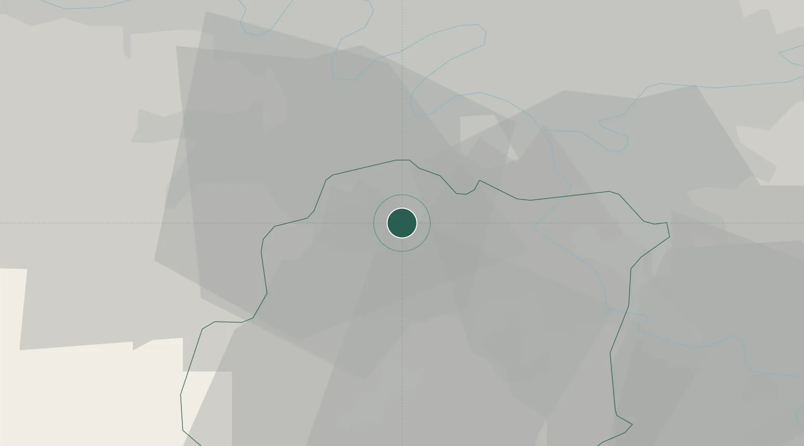
Hub Profile
Place type
Populated place
Region
Île-de-France
Population
25,785
Time zone
Europe/Paris
Elevation
87 m
Logistics facilities
1
Location
Nearby Logistics Neighbours
Cities
- 1Gif-sur-Yvette6 km
- 2Bièvres7 km
- 3Saint-Aubin7 km
- 4Villemoisson-sur-Orge8 km
- 5Longpont-sur-Orge8 km
Ports
- 1Port Of Rouen119 km
- 2Dieppe161 km
- 3Le Treport165 km
- 4Honfleur167 km
- 5Saint-Valery-Sur-Somme172 km
Airports
Trade Zones
- 1ZFU Grigny Viry-Châtillon12 km
- 2ZFU Vitry-sur-Seine16 km
- 3ZFU Choisy-le-Roi et Orly16 km
- 4ZFU Trappes19 km
- 5ZFU Corbeil-Evry19 km
DatabookThe Record of Consolidated Knowledge
France beyond logistics?