UN/LOCODE hub · France
FRZKA

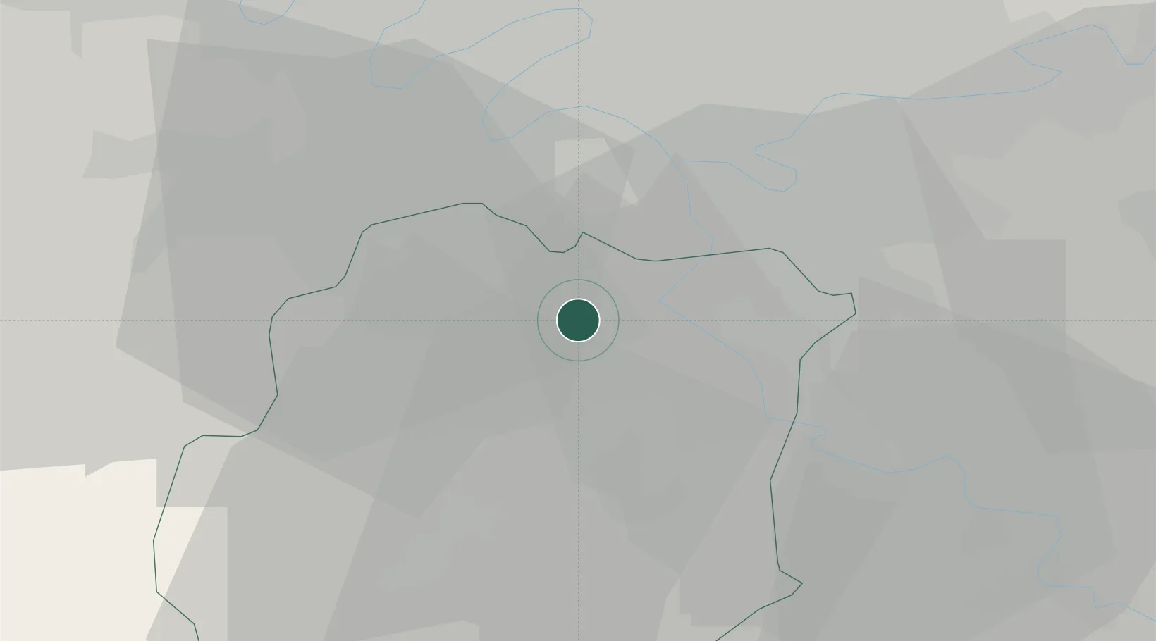
Villemoisson-sur-Orge

48.6667°, 2.3167°
7,250
Population
1
Transport functions

Transport Functions

Multimodal
UN/LOCODE

Hub Profile

Place type
Populated place
GeoNames
Region
Île-de-France
GeoNames
Population
7,250
GeoNames
Time zone
Europe/Paris
GeoNames
Elevation
42 m
GeoNames

Location

Location of FRZKA
Natural Earth 10m (public domain) · Île-de-France · FRZKA · 48.67, 2.32GoogleOSMYandex

Nearby Logistics Neighbours

Cities
  1. 1Épinay-sur-Orge1 km
  2. 2Savigny-sur-Orge3 km
  3. 3Juvisy-sur-Orge4 km
  4. 4Longpont-sur-Orge4 km
  5. 5Grigny5 km
Nearest neighbours — logibook spatial index (haversine) over the source coordinates
Ports
  1. 1Port Of Rouen126 km
  2. 2Dieppe167 km
  3. 3Le Treport170 km
  4. 4Honfleur174 km
  5. 5Saint-Valery-Sur-Somme176 km
Nearest neighbours — logibook spatial index (haversine) over the source coordinates
Airports
  1. 1Paris-Orly Airport8 km
  2. 2Vélizy-Villacoublay Air Base15 km
  3. 3Toussus-le-Noble Airport18 km
  4. 4Melun-Villaroche Airfield27 km
  5. 5Paris-Le Bourget International Airport34 km
Nearest neighbours — logibook spatial index (haversine) over the source coordinates
Trade Zones
  1. 1ZFU Grigny Viry-Châtillon4 km
  2. 2ZFU Corbeil-Evry11 km
  3. 3ZFU Choisy-le-Roi et Orly13 km
  4. 4ZFU Epinay-sous-Sénart14 km
  5. 5ZFU Vitry-sur-Seine14 km
Nearest neighbours — logibook spatial index (haversine) over the source coordinates
DatabookThe Record of Consolidated Knowledge
France beyond logistics?
Browse databook

All Sources

LocationsUN/LOCODE
UN/LOCODE — free
LocationsGeoNames
CC BY 4.0
Portsthe NGA World Port Index
Public domain (US gov)
AirportsOurAirports
Public domain
Trade Zonesthe World Bank SEZ database
CC BY 4.0
Trade ZonesOpen Zone Map
CC BY
← France locations