Transport Functions
Port
Multimodal
Hub Profile
Place type
Populated place
Region
Nouvelle-Aquitaine
Population
348
Time zone
Europe/Paris
Elevation
6 m
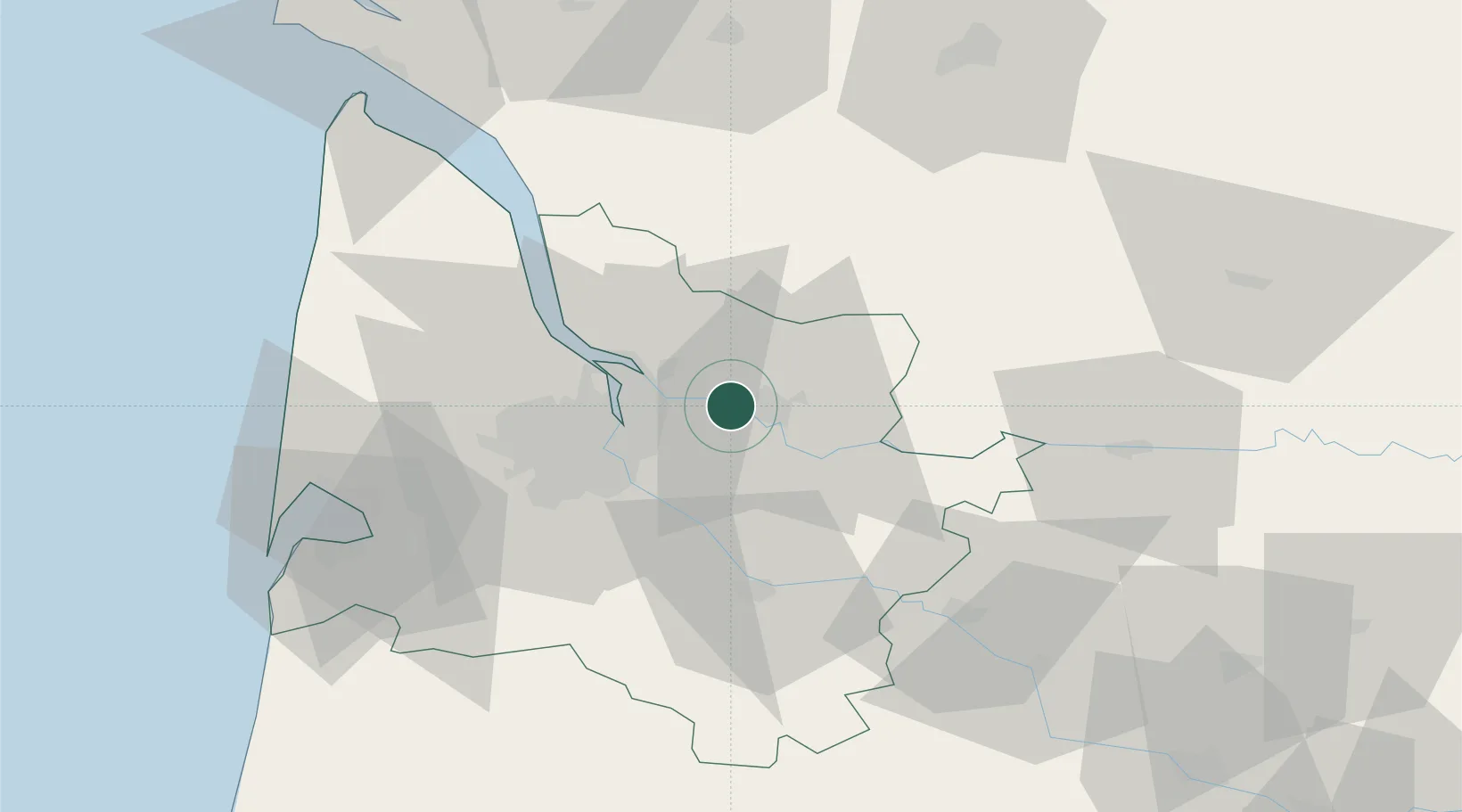
Location
Nearby Logistics Neighbours
Cities
- 1Vayres4 km
- 2Villegouge4 km
- 3Izon4 km
- 4Saillans5 km
- 5Libourne6 km
Airports
Trade Zones
- 1Port de Bordeaux18 km
- 2ZFU Hauts de Garonne24 km
- 3ZFU La Rochelle153 km
- 4ZFU Toulouse204 km
- 5Depósito Franco de Pasajes (Guipúzcoa)220 km
DatabookThe Record of Consolidated Knowledge
France beyond logistics?