UN/LOCODE hub · France
FRLL8

Villegouge

44.9667°, -0.3000°
1,173
Population
2
Transport functions

Transport Functions

Road
Multimodal
UN/LOCODE

Hub Profile

Place type
Populated place
GeoNames
Region
Nouvelle-Aquitaine
GeoNames
Population
1,173
GeoNames
Time zone
Europe/Paris
GeoNames
Elevation
57 m
GeoNames

Location

Location of FRLL8
Natural Earth 10m (public domain) · Nouvelle-Aquitaine · FRLL8 · 44.97, -0.30GoogleOSMYandex

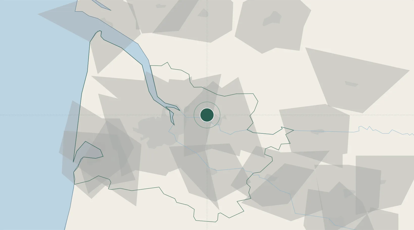
Nearby Logistics Neighbours

Cities
  1. 1Saillans3 km
  2. 2La Rivière4 km
  3. 3Mouillac5 km
  4. 4Savignac-de-l'Isle6 km
  5. 5Les Billaux6 km
Nearest neighbours — logibook spatial index (haversine) over the source coordinates
Ports
  1. 1Ambes19 km
  2. 2Bordeaux24 km
  3. 3Blaye34 km
  4. 4Pauillac44 km
  5. 5Le Verdon88 km
Nearest neighbours — logibook spatial index (haversine) over the source coordinates
Airports
  1. 1Bordeaux–Mérignac Airport36 km
  2. 2Bergerac Dordogne-Périgord airport66 km
  3. 3Aérodrome d'Arcachon-La Teste-de-Buch76 km
  4. 4Cognac-Châteaubernard (BA 709) Air Base77 km
  5. 5Cazaux (BA 120) Air Base81 km
Nearest neighbours — logibook spatial index (haversine) over the source coordinates
Trade Zones
  1. 1Port de Bordeaux20 km
  2. 2ZFU Hauts de Garonne27 km
  3. 3ZFU La Rochelle151 km
  4. 4ZFU Toulouse205 km
  5. 5Depósito Franco de Pasajes (Guipúzcoa)224 km
Nearest neighbours — logibook spatial index (haversine) over the source coordinates
DatabookThe Record of Consolidated Knowledge
France beyond logistics?
Browse databook

All Sources

LocationsUN/LOCODE
UN/LOCODE — free
LocationsGeoNames
CC BY 4.0
Portsthe NGA World Port Index
Public domain (US gov)
AirportsOurAirports
Public domain
Trade Zonesthe World Bank SEZ database
CC BY 4.0
Trade ZonesOpen Zone Map
CC BY
← France locations