Transport Functions
Rail
Hub Profile
Place type
District seat
Region
Nouvelle-Aquitaine
Population
19,069
Time zone
Europe/Paris
Elevation
33 m
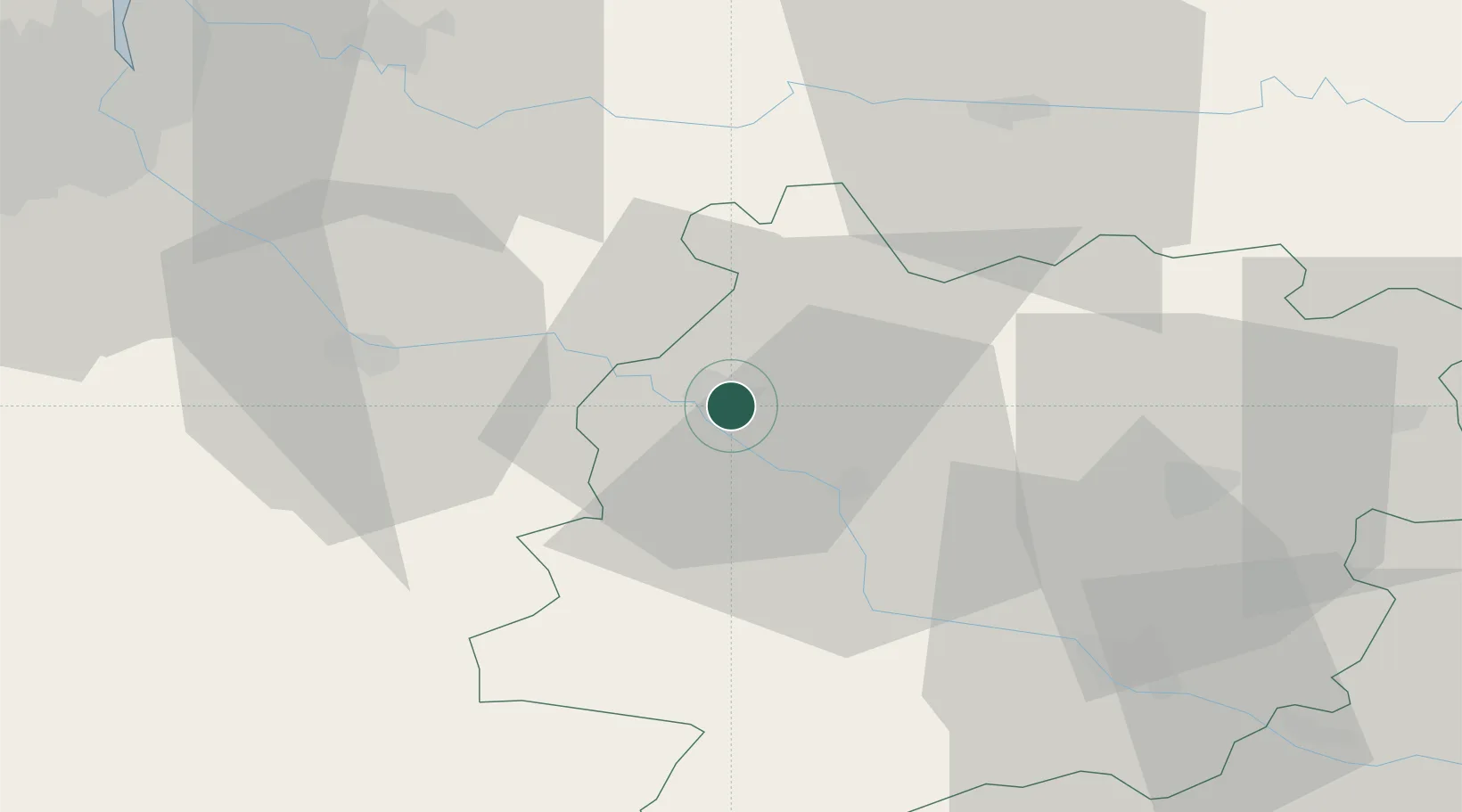
Location
Nearby Logistics Neighbours
Cities
- 1Virazeil4 km
- 2Caumont-sur-Garonne6 km
- 3Lagupie7 km
- 4Castelnau-sur-Gupie8 km
- 5Le Mas-d'Agenais12 km
Airports
Trade Zones
- 1ZFU Hauts de Garonne69 km
- 2Port de Bordeaux72 km
- 3ZFU Toulouse143 km
- 4Depósito Franco de Pasajes (Guipúzcoa)213 km
- 5ZFU La Rochelle214 km
DatabookThe Record of Consolidated Knowledge
France beyond logistics?