Transport Functions
Rail
Road
Hub Profile
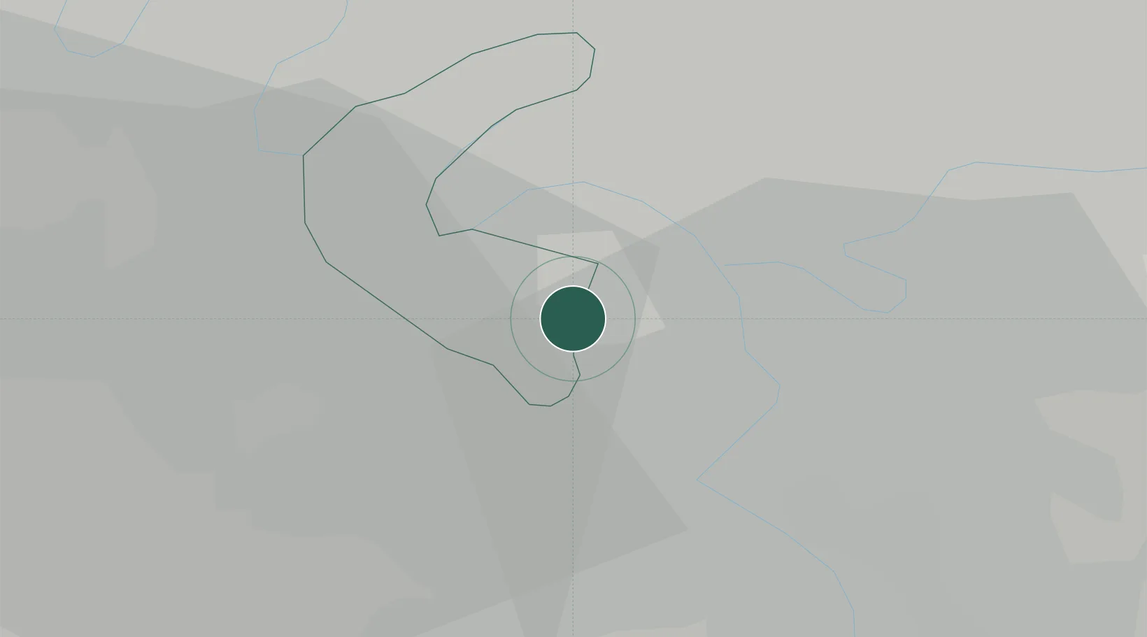
Place type
Populated place
Region
Île-de-France
Population
18,870
Time zone
Europe/Paris
Elevation
55 m
Location
Nearby Logistics Neighbours
Cities
- 1Cachan1 km
- 2Arcueil2 km
- 3Bagneux2 km
- 4Châtillon2 km
- 5Le Plessis-Robinson4 km
Ports
- 1Port Of Rouen117 km
- 2Dieppe156 km
- 3Le Treport158 km
- 4Saint-Valery-Sur-Somme164 km
- 5Honfleur168 km
Airports
Trade Zones
DatabookThe Record of Consolidated Knowledge
France beyond logistics?