Transport Functions
Rail
Road
Multimodal
Hub Profile
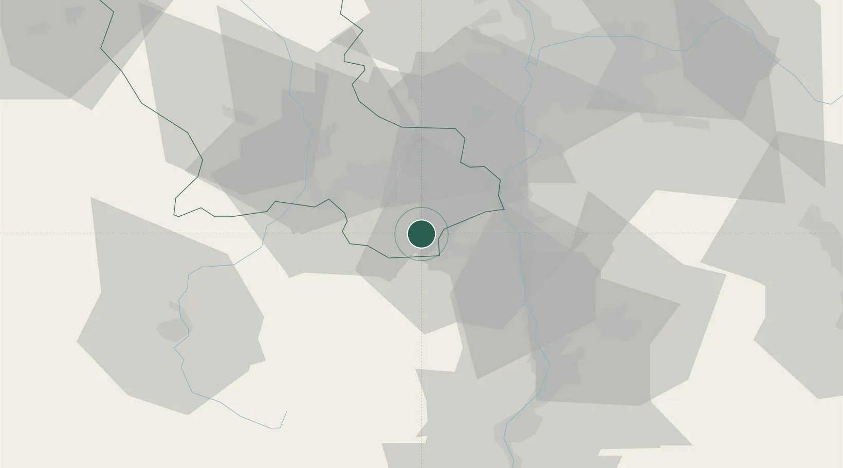
Place type
Populated place
Region
Rhône-Alpes
Population
2,835
Time zone
Europe/Paris
Elevation
559 m
Location
Nearby Logistics Neighbours
Cities
- 1Charnas16 km
- 2Saint-Pierre-de-Buf16 km
- 3Malleval17 km
- 4Limony18 km
- 5La Ricamarie18 km
Ports
- 1Fos211 km
- 2Port-de-Bouc214 km
- 3Port Saint Louis Du Rhone214 km
- 4Sete222 km
- 5Marseille230 km
Airports
Trade Zones
- 1ZFU Saint-Etienne24 km
- 2ZFU Valence48 km
- 3ZFU Vénissieux50 km
- 4ZFU Lyon 9e56 km
- 5ZFU Vaulx-en-Velin61 km
DatabookThe Record of Consolidated Knowledge
France beyond logistics?