Transport Functions
Road
Multimodal
Hub Profile
Place type
Populated place
Region
Bourgogne
Population
161
Time zone
Europe/Paris
Elevation
427 m
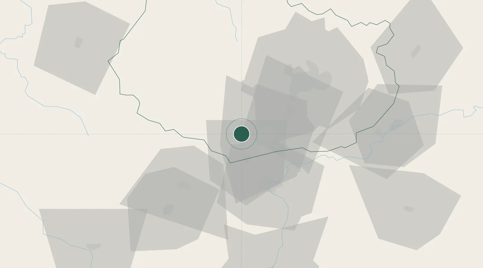
Location
Nearby Logistics Neighbours
Cities
- 1Meloisey2 km
- 2Nantoux2 km
- 3Saint-Romain6 km
- 4Monthelie6 km
- 5Lusigny-sur-Ouche6 km
Ports
- 1Port Of Rouen381 km
- 2Fos404 km
- 3Port-de-Bouc406 km
- 4Port Saint Louis Du Rhone408 km
- 5Sete414 km
Airports
- 1Dijon Longvic airport36 km
- 2Dole Tavaux Airport53 km
- 3Mâcon-Charnay Airfield84 km
- 4Saint-Yan Airport90 km
- 5Nevers-Fourchambault Airport123 km
Trade Zones
- 1ZFU Chenôve33 km
- 2ZFU Besancon99 km
- 3ZFU Rillieux-la-Pape136 km
- 4Geneva Cointrin International Airport Free Port139 km
- 5Port Franc de Geneve141 km
DatabookThe Record of Consolidated Knowledge
France beyond logistics?