Transport Functions
Multimodal
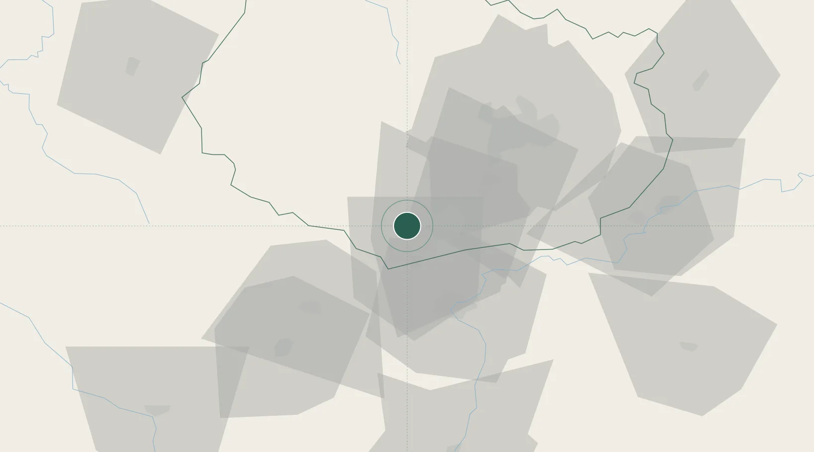
Hub Profile
Place type
Populated place
Region
Bourgogne
Population
320
Time zone
Europe/Paris
Elevation
405 m
Location
Nearby Logistics Neighbours
Cities
- 1Nantoux1 km
- 2Mavilly-Mandelot2 km
- 3Saint-Romain5 km
- 4Monthelie5 km
- 5Volnay5 km
Ports
- 1Port Of Rouen382 km
- 2Fos402 km
- 3Port-de-Bouc405 km
- 4Port Saint Louis Du Rhone406 km
- 5Sete412 km
Airports
- 1Dijon Longvic airport38 km
- 2Dole Tavaux Airport53 km
- 3Mâcon-Charnay Airfield82 km
- 4Saint-Yan Airport88 km
- 5Roanne-Renaison Airport123 km
Trade Zones
- 1ZFU Chenôve34 km
- 2ZFU Besancon99 km
- 3ZFU Rillieux-la-Pape135 km
- 4Geneva Cointrin International Airport Free Port138 km
- 5Port Franc de Geneve140 km
DatabookThe Record of Consolidated Knowledge
France beyond logistics?