Transport Functions
Rail
Road
Hub Profile
Place type
Populated place
Region
Bourgogne
Population
233
Time zone
Europe/Paris
Elevation
427 m
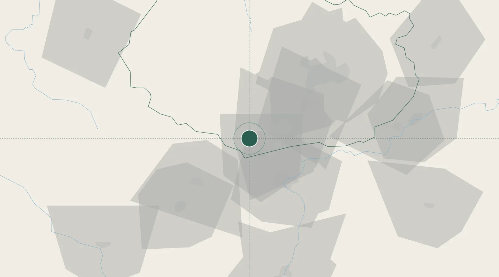
Location
Nearby Logistics Neighbours
Cities
- 1Auxey-Duresses4 km
- 2Meloisey5 km
- 3Monthelie5 km
- 4Nantoux5 km
- 5Mavilly-Mandelot6 km
Ports
- 1Port Of Rouen383 km
- 2Fos399 km
- 3Port-de-Bouc401 km
- 4Port Saint Louis Du Rhone402 km
- 5Sete408 km
Airports
- 1Dijon Longvic airport42 km
- 2Dole Tavaux Airport55 km
- 3Mâcon-Charnay Airfield79 km
- 4Saint-Yan Airport84 km
- 5Roanne-Renaison Airport118 km
Trade Zones
- 1ZFU Chenôve39 km
- 2ZFU Besancon103 km
- 3ZFU Rillieux-la-Pape131 km
- 4ZFU Lyon 9e137 km
- 5ZFU Vaulx-en-Velin137 km
DatabookThe Record of Consolidated Knowledge
France beyond logistics?