Transport Functions
Multimodal
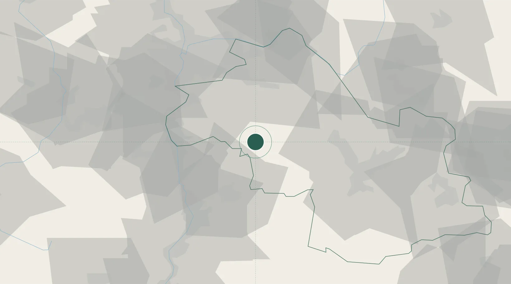
Hub Profile
Place type
Populated place
Region
Rhône-Alpes
Population
1,354
Time zone
Europe/Paris
Elevation
358 m
Location
Nearby Logistics Neighbours
Cities
- 1Faramans8 km
- 2La Frette14 km
- 3Sillans15 km
- 4Hauterives15 km
- 5Le Grand-Lemps19 km
Ports
- 1Fos213 km
- 2Port-de-Bouc214 km
- 3Port Saint Louis Du Rhone217 km
- 4Marseille223 km
- 5Cannes244 km
Airports
Trade Zones
- 1ZFU Grenoble40 km
- 2ZFU Vénissieux50 km
- 3ZFU Valence52 km
- 4ZFU Vaulx-en-Velin56 km
- 5ZFU Lyon 9e59 km
DatabookThe Record of Consolidated Knowledge
France beyond logistics?