Transport Functions
Multimodal
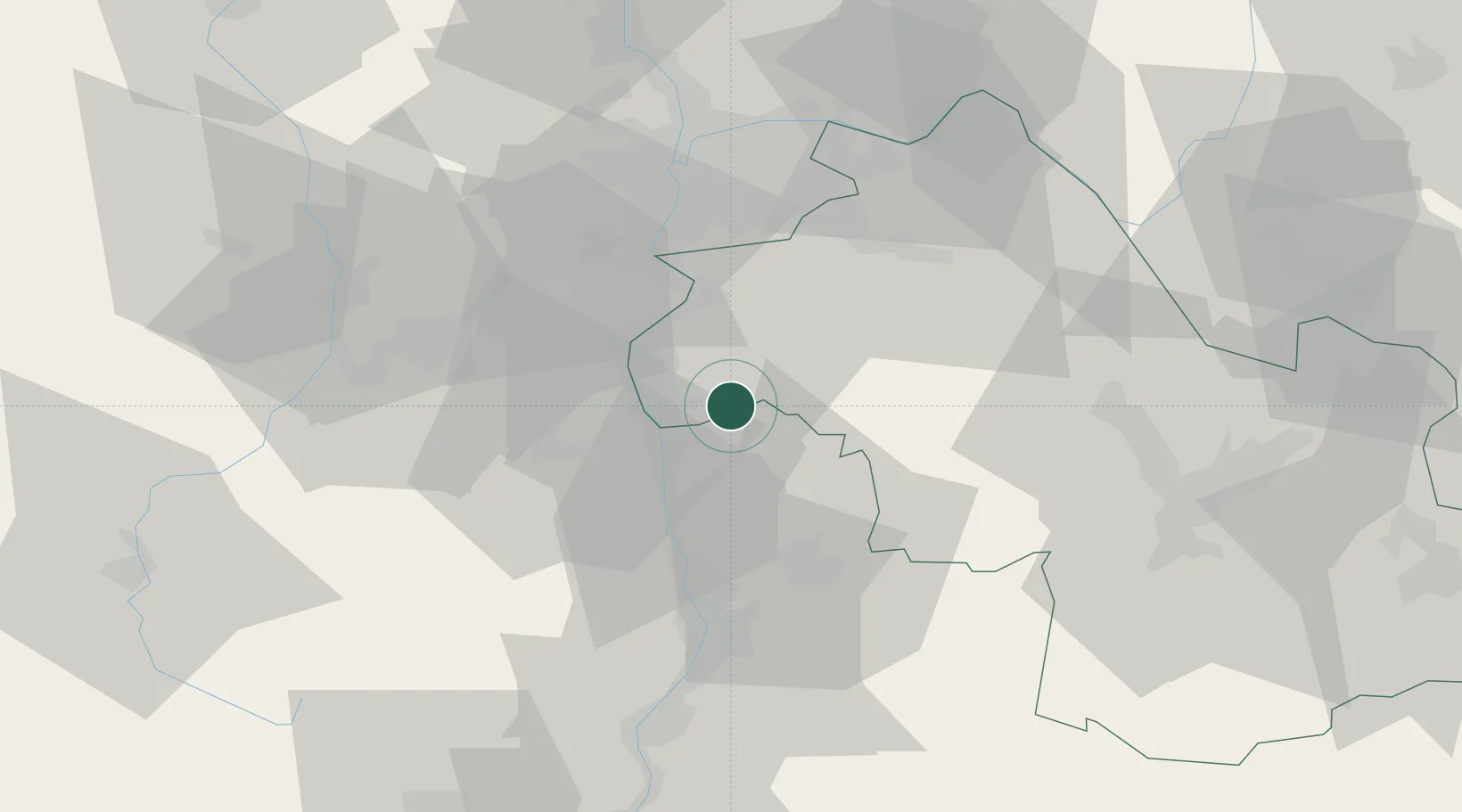
Hub Profile
Place type
Populated place
Region
Rhône-Alpes
Population
884
Time zone
Europe/Paris
Elevation
231 m
Location
Nearby Logistics Neighbours
Cities
- 1Bellegarde-Poussieu6 km
- 2Salaise-sur-Sanne9 km
- 3Roussillon10 km
- 4Saint-Rambert-d'Albon11 km
- 5Hauterives12 km
Ports
- 1Fos213 km
- 2Port-de-Bouc215 km
- 3Port Saint Louis Du Rhone217 km
- 4Marseille227 km
- 5Sete236 km
Airports
Trade Zones
- 1ZFU Vénissieux41 km
- 2ZFU Valence46 km
- 3ZFU Vaulx-en-Velin50 km
- 4ZFU Lyon 9e50 km
- 5ZFU Saint-Etienne51 km
DatabookThe Record of Consolidated Knowledge
France beyond logistics?