UN/LOCODE hub · France
FRDRJ
Bellegarde-Poussieu
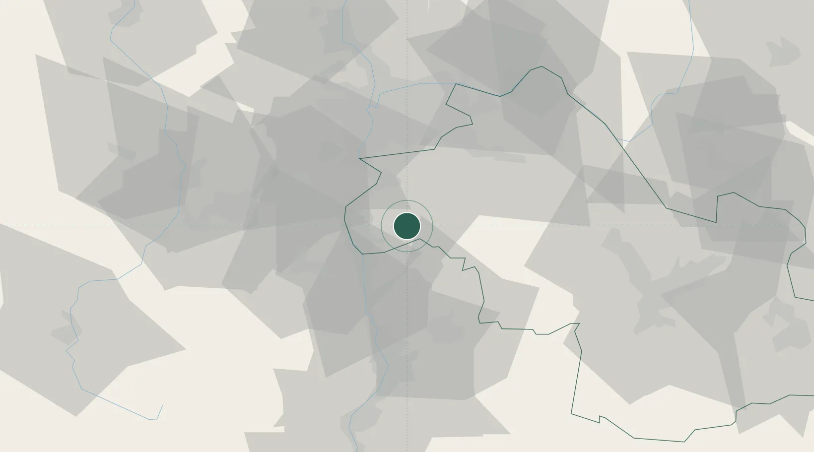
45.3833°, 4.9500°
902
Population
1
Transport functions
Transport Functions
Multimodal
Hub Profile
Place type
Populated place
Region
Rhône-Alpes
Population
902
Time zone
Europe/Paris
Elevation
313 m
Location
Nearby Logistics Neighbours
Cities
- 1Jarcieu6 km
- 2Saint-Sorlin9 km
- 3Eyzin-Pinet10 km
- 4Les Côtes-d'Arey10 km
- 5Roussillon11 km
Ports
- 1Fos219 km
- 2Port-de-Bouc221 km
- 3Port Saint Louis Du Rhone223 km
- 4Marseille232 km
- 5Sete242 km
Airports
Trade Zones
- 1ZFU Vénissieux36 km
- 2ZFU Vaulx-en-Velin44 km
- 3ZFU Lyon 9e45 km
- 4ZFU Rillieux-la-Pape50 km
- 5ZFU Saint-Etienne51 km
DatabookThe Record of Consolidated Knowledge
France beyond logistics?