Transport Functions
Port
Multimodal
Hub Profile
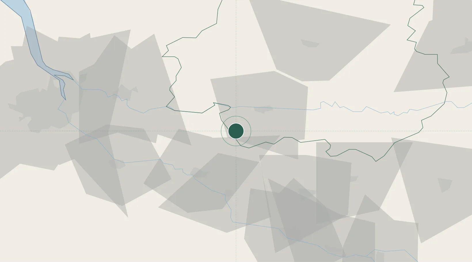
Place type
Populated place
Region
Nouvelle-Aquitaine
Time zone
Europe/Paris
Elevation
167 m
Location
Nearby Logistics Neighbours
Cities
- 1Saint-Julien-Innocence-Eulalie4 km
- 2Monestier5 km
- 3Mescoules6 km
- 4Loubès-Bernac6 km
- 5Cunèges6 km
Airports
Trade Zones
- 1Port de Bordeaux73 km
- 2ZFU Hauts de Garonne74 km
- 3ZFU Toulouse153 km
- 4ZFU La Rochelle200 km
- 5Depósito Franco de Pasajes (Guipúzcoa)240 km
DatabookThe Record of Consolidated Knowledge
France beyond logistics?