Transport Functions
Road
Multimodal
Hub Profile
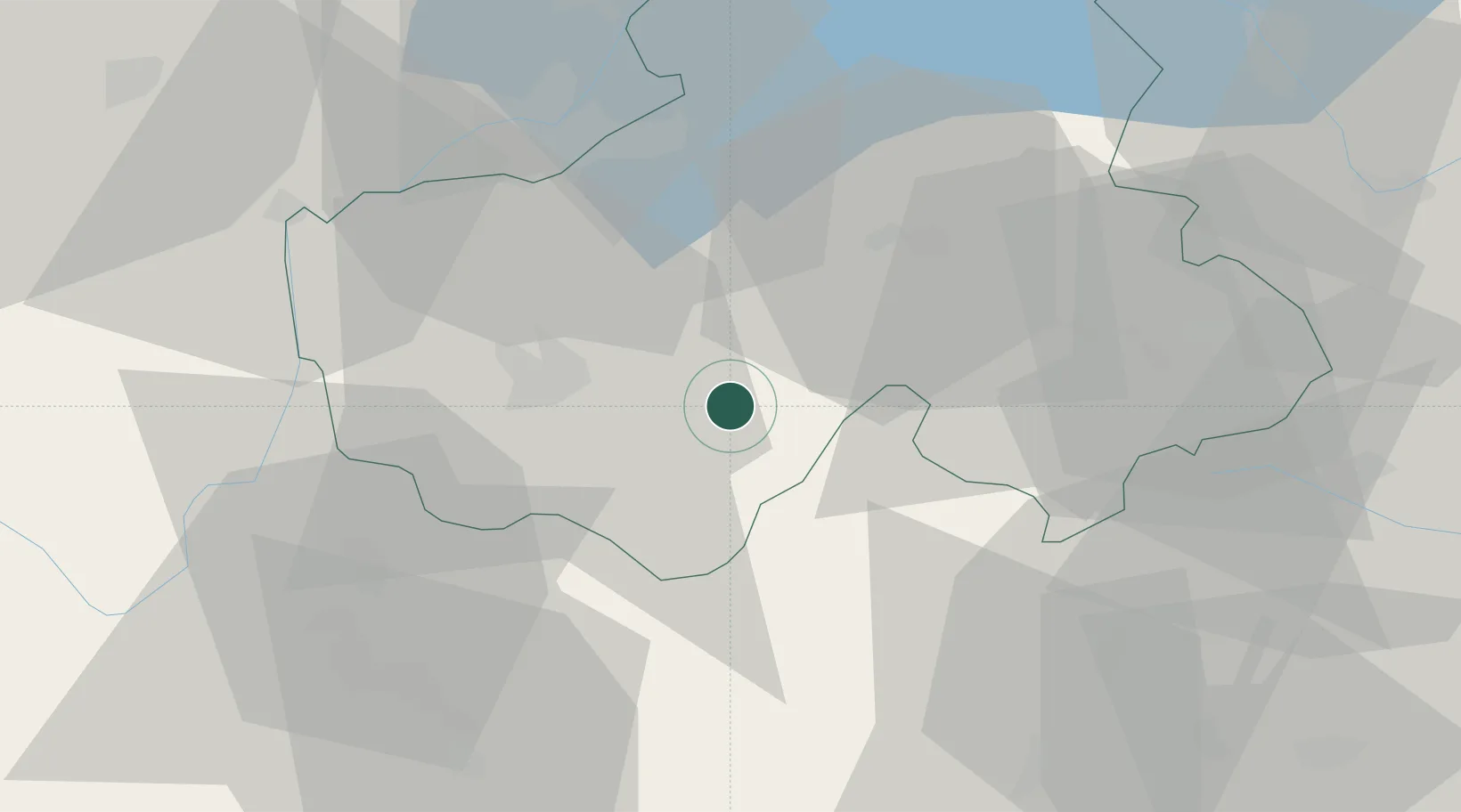
Place type
Populated place
Region
Rhône-Alpes
Population
6,032
Time zone
Europe/Paris
Elevation
627 m
Location
Nearby Logistics Neighbours
Cities
- 1Saint-Ferréol13 km
- 2Annecy-le-Vieux15 km
- 3nnecy-le-Vieux15 km
- 4Annecy16 km
- 5Charvonnex17 km
Ports
- 1Savona243 km
- 2Rada Di Vado245 km
- 3Monaco254 km
- 4Nice254 km
- 5Villefranche255 km
Airports
Trade Zones
DatabookThe Record of Consolidated Knowledge
France beyond logistics?