Transport Functions
Multimodal
Hub Profile
Place type
Populated place
Region
Nouvelle-Aquitaine
Population
316
Time zone
Europe/Paris
Elevation
50 m
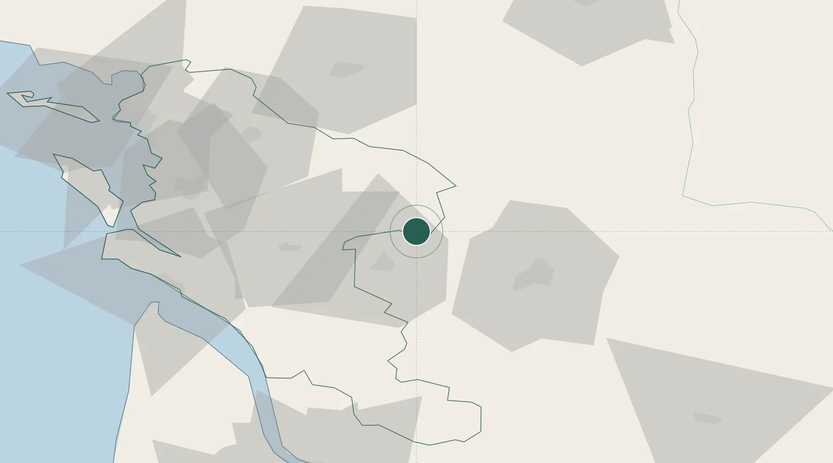
Location
Nearby Logistics Neighbours
Cities
- 1Bréville4 km
- 2Siecq4 km
- 3Houlette4 km
- 4Sonnac5 km
- 5Courbillac5 km
Ports
- 1Tonnay Charente55 km
- 2Rochefort59 km
- 3Le Verdon71 km
- 4Pauillac79 km
- 5La Rochelle82 km
Airports
Trade Zones
- 1ZFU La Rochelle87 km
- 2Port de Bordeaux102 km
- 3ZFU Hauts de Garonne112 km
- 4ZFU Angers189 km
- 5ZFU Nantes et Saint-Herblain195 km
DatabookThe Record of Consolidated Knowledge
France beyond logistics?