UN/LOCODE hub · France
FRDAF

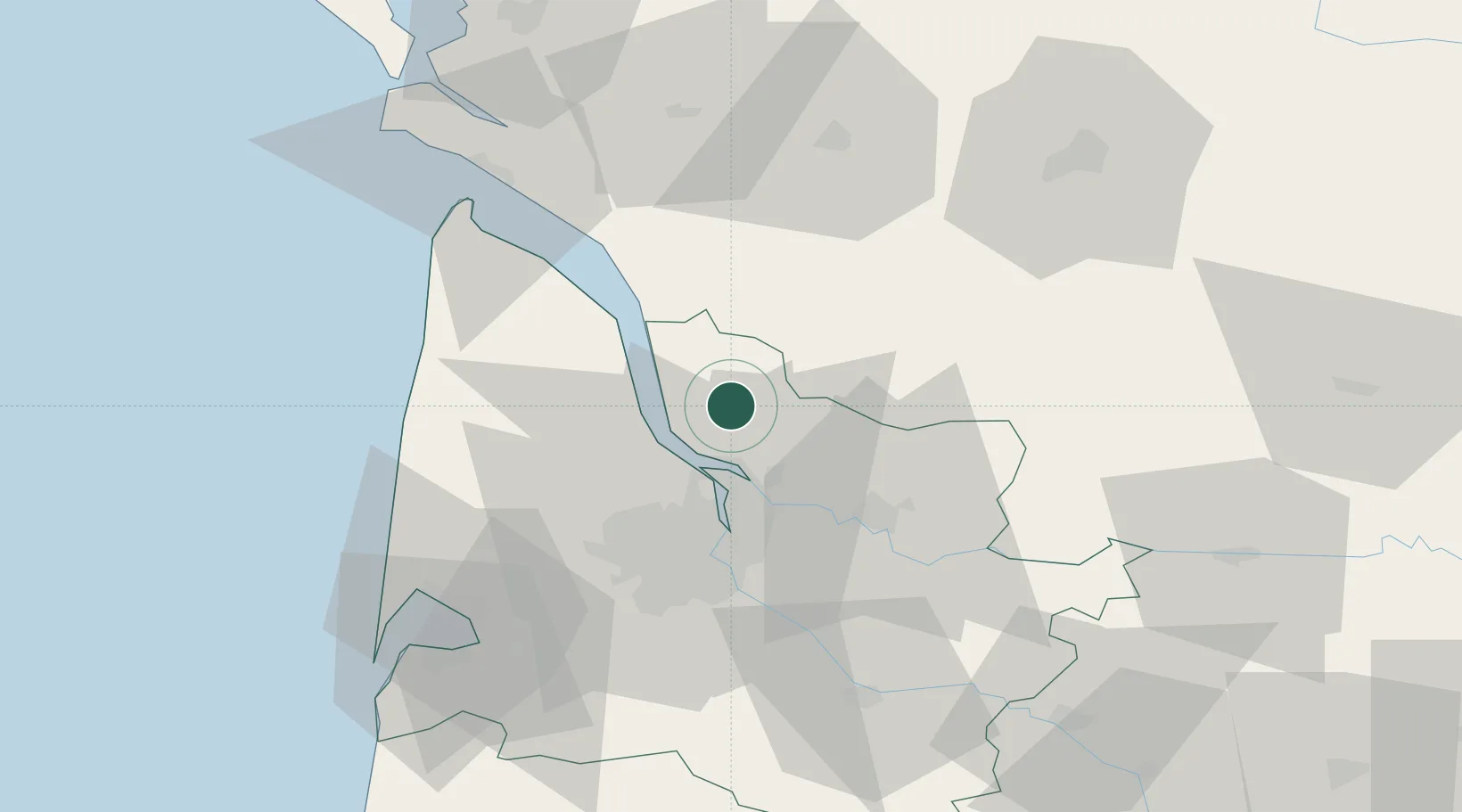
Saint-Girons-d'Aiguevives

45.1500°, -0.5333°
863
Population
1
Transport functions

Transport Functions

Multimodal
UN/LOCODE

Hub Profile

Place type
Populated place
GeoNames
Region
Nouvelle-Aquitaine
GeoNames
Population
863
GeoNames
Time zone
Europe/Paris
GeoNames
Elevation
47 m
GeoNames

Location

Location of FRDAF
Natural Earth 10m (public domain) · Nouvelle-Aquitaine · FRDAF · 45.15, -0.53GoogleOSMYandex

Nearby Logistics Neighbours

Cities
  1. 1Saint-Christoly-de-Blaye3 km
  2. 2Campugnan5 km
  3. 3Cartelègue5 km
  4. 4Saint-Savin-de-Blay7 km
  5. 5Cars7 km
Nearest neighbours — logibook spatial index (haversine) over the source coordinates
Ports
  1. 1Blaye11 km
  2. 2Ambes15 km
  3. 3Pauillac18 km
  4. 4Bordeaux32 km
  5. 5Le Verdon60 km
Nearest neighbours — logibook spatial index (haversine) over the source coordinates
Airports
  1. 1Bordeaux–Mérignac Airport39 km
  2. 2Cognac-Châteaubernard (BA 709) Air Base59 km
  3. 3Royan-Médis Airport63 km
  4. 4Aérodrome d'Arcachon-La Teste-de-Buch77 km
  5. 5Cazaux (BA 120) Air Base83 km
Nearest neighbours — logibook spatial index (haversine) over the source coordinates
Trade Zones
  1. 1Port de Bordeaux27 km
  2. 2ZFU Hauts de Garonne36 km
  3. 3ZFU La Rochelle124 km
  4. 4Depósito Franco de Pasajes (Guipúzcoa)232 km
  5. 5ZFU Toulouse233 km
Nearest neighbours — logibook spatial index (haversine) over the source coordinates
DatabookThe Record of Consolidated Knowledge
France beyond logistics?
Browse databook

All Sources

LocationsUN/LOCODE
UN/LOCODE — free
LocationsGeoNames
CC BY 4.0
Portsthe NGA World Port Index
Public domain (US gov)
AirportsOurAirports
Public domain
Trade Zonesthe World Bank SEZ database
CC BY 4.0
Trade ZonesOpen Zone Map
CC BY
← France locations