Transport Functions
Multimodal
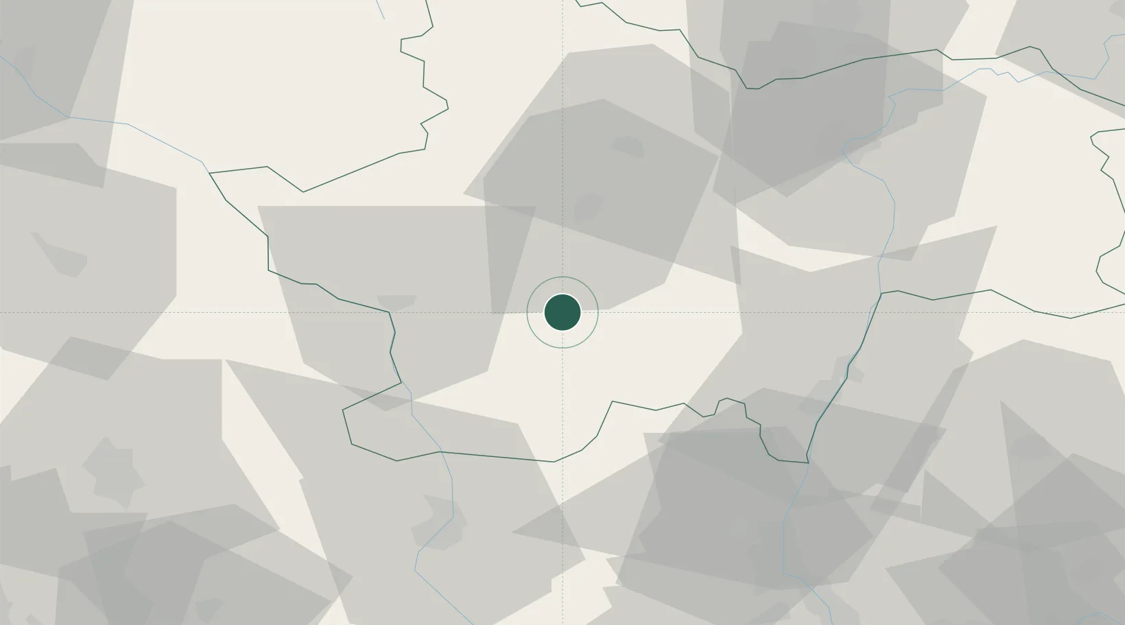
Hub Profile
Region
71
Location
Nearby Logistics Neighbours
Cities
- 1Saint-Bonnet-de-Vieille-Vigne8 km
- 2Génelard15 km
- 3Paray-le-Monial15 km
- 4Saint-Vallier21 km
- 5La Vineuse22 km
Ports
- 1Fos342 km
- 2Sete344 km
- 3Port-de-Bouc345 km
- 4Port Saint Louis Du Rhone345 km
- 5Marseille360 km
Airports
- 1Saint-Yan Airport24 km
- 2Mâcon-Charnay Airfield41 km
- 3Roanne-Renaison Airport52 km
- 4Vichy-Charmeil Airport78 km
- 5Ambérieu Air Base (BA 278)94 km
Trade Zones
- 1ZFU Rillieux-la-Pape83 km
- 2ZFU Lyon 9e86 km
- 3ZFU Vaulx-en-Velin89 km
- 4ZFU Vénissieux95 km
- 5ZFU Chenôve105 km
DatabookThe Record of Consolidated Knowledge
France beyond logistics?