Transport Functions
Multimodal
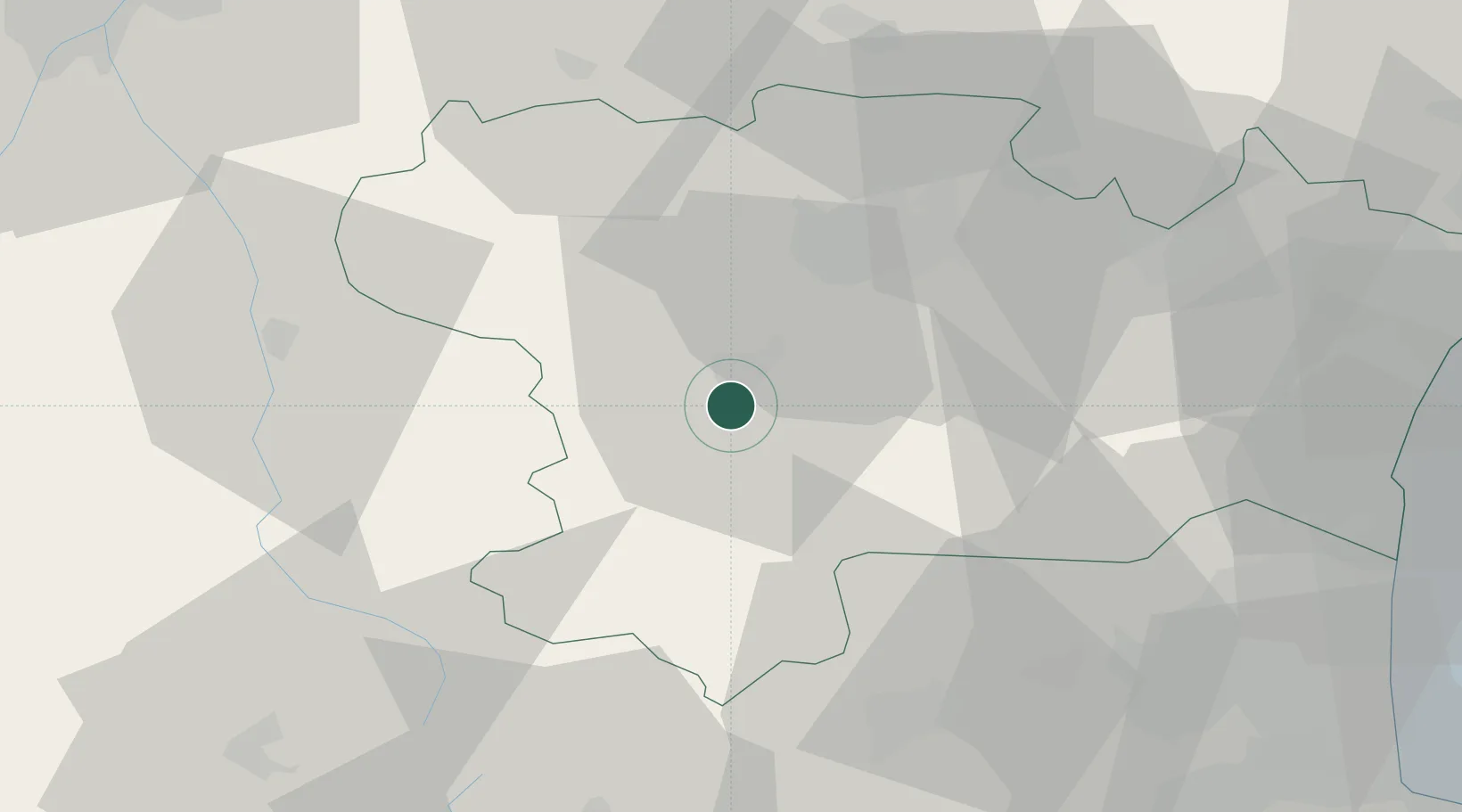
Hub Profile
Place type
Populated place
Region
Occitanie
Population
450
Time zone
Europe/Paris
Elevation
238 m
Location
Nearby Logistics Neighbours
Cities
- 1Tourreilles3 km
- 2Roquetaillade4 km
- 3Malras5 km
- 4Pauligne5 km
- 5Lauraguel8 km
Ports
- 1Port-La-Nouvelle71 km
- 2Port-Vendres94 km
- 3Rosas117 km
- 4Sete128 km
- 5Palamos153 km
Airports
Trade Zones
- 1ZFU Perpignan68 km
- 2ZFU Toulouse88 km
- 3ZFU Béziers89 km
- 4ZFU Montpellier148 km
- 5Zona Franca de Barcelona189 km
DatabookThe Record of Consolidated Knowledge
France beyond logistics?