Transport Functions
Multimodal
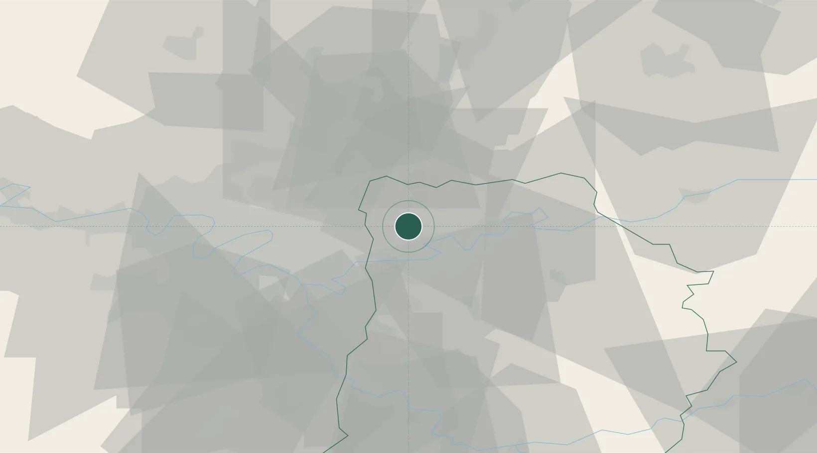
Hub Profile
Place type
Populated place
Region
Île-de-France
Population
975
Time zone
Europe/Paris
Elevation
75 m
Location
Nearby Logistics Neighbours
Cities
- 1Fresnes-sur-Marne5 km
- 2Précy-sur-Marne8 km
- 3Le Mesnil-Amelot8 km
- 4Villeneuve-sous-Dammartin8 km
- 5Montgé9 km
Ports
- 1Port Of Rouen129 km
- 2Le Treport155 km
- 3Saint-Valery-Sur-Somme156 km
- 4Dieppe158 km
- 5Honfleur186 km
Airports
Trade Zones
- 1ZFU Sevran12 km
- 2ZFU Clichy-sous-Bois et Montfermeil12 km
- 3ZFU Meaux15 km
- 4ZFU Neuilly-sur-Marne16 km
- 5ZFU Le Blanc-Mesnil, Dugny16 km
DatabookThe Record of Consolidated Knowledge
France beyond logistics?