UN/LOCODE hub · France
FRVM7

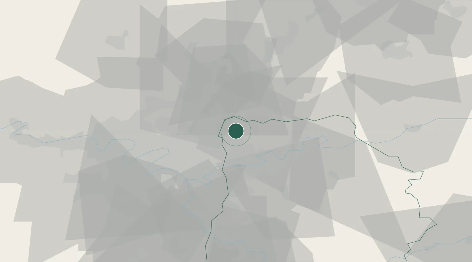
Villeneuve-sous-Dammartin

49.0333°, 2.6333°
582
Population
1
Transport functions

Transport Functions

Multimodal
UN/LOCODE

Hub Profile

Place type
Populated place
GeoNames
Region
Île-de-France
GeoNames
Population
582
GeoNames
Time zone
Europe/Paris
GeoNames
Elevation
90 m
GeoNames

Location

Location of FRVM7
Natural Earth 10m (public domain) · Île-de-France · FRVM7 · 49.03, 2.63GoogleOSMYandex

Nearby Logistics Neighbours

Cities
  1. 1Le Mesnil-Amelot3 km
  2. 2Dammartin-en-Goële4 km
  3. 3Charles-de-gaulle Apt/paris6 km
  4. 4Messy8 km
  5. 5Montgé9 km
Nearest neighbours — logibook spatial index (haversine) over the source coordinates
Ports
  1. 1Port Of Rouen123 km
  2. 2Le Treport147 km
  3. 3Saint-Valery-Sur-Somme147 km
  4. 4Dieppe150 km
  5. 5Honfleur181 km
Nearest neighbours — logibook spatial index (haversine) over the source coordinates
Airports
  1. 1Charles de Gaulle International Airport6 km
  2. 2Paris-Le Bourget International Airport16 km
  3. 3Creil Air Base26 km
  4. 4Paris-Orly Airport39 km
  5. 5Vélizy-Villacoublay Air Base43 km
Nearest neighbours — logibook spatial index (haversine) over the source coordinates
Trade Zones
  1. 1ZFU Sevran13 km
  2. 2ZFU Aulnay-sous-Bois16 km
  3. 3ZFU Le Blanc-Mesnil, Dugny16 km
  4. 4ZFU Clichy-sous-Bois et Montfermeil16 km
  5. 5ZFU Villiers-le-Bel18 km
Nearest neighbours — logibook spatial index (haversine) over the source coordinates
DatabookThe Record of Consolidated Knowledge
France beyond logistics?
Browse databook

All Sources

LocationsUN/LOCODE
UN/LOCODE — free
LocationsGeoNames
CC BY 4.0
Portsthe NGA World Port Index
Public domain (US gov)
AirportsOurAirports
Public domain
Trade Zonesthe World Bank SEZ database
CC BY 4.0
Trade ZonesOpen Zone Map
CC BY
← France locations