Transport Functions
Port
Road
Hub Profile
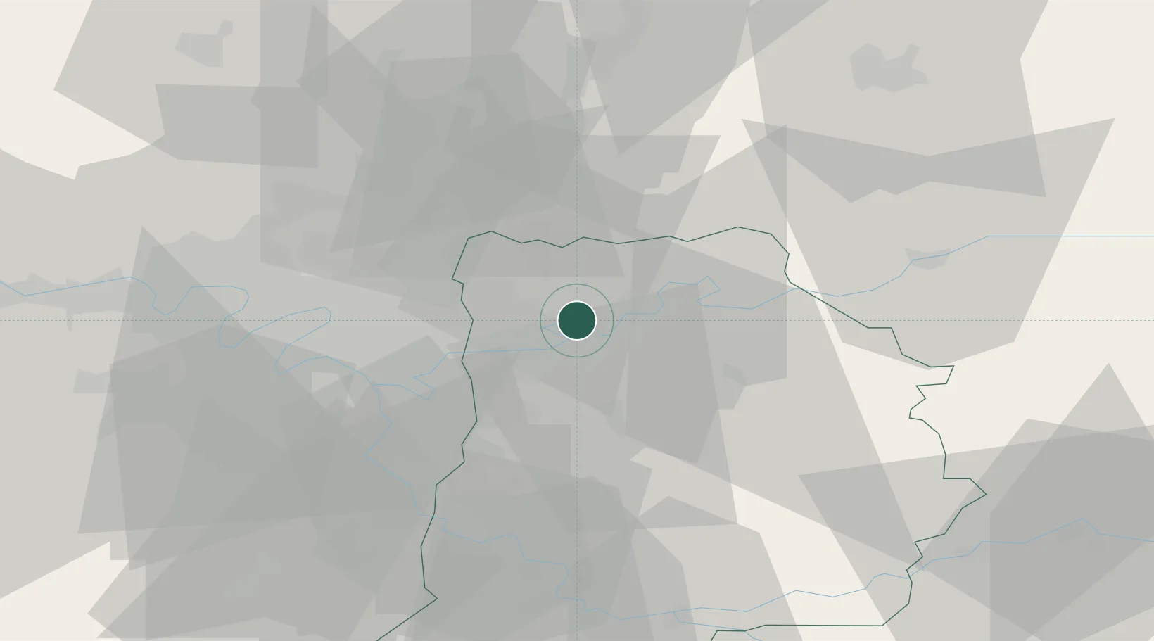
Place type
Populated place
Region
Île-de-France
Population
527
Time zone
Europe/Paris
Elevation
46 m
Location
Nearby Logistics Neighbours
Cities
- 1Fresnes-sur-Marne4 km
- 2Esbly4 km
- 3Mareuil-lès-Meaux5 km
- 4Chessy6 km
- 5Thorigny-sur-Marne7 km
Ports
- 1Port Of Rouen137 km
- 2Le Treport162 km
- 3Saint-Valery-Sur-Somme163 km
- 4Dieppe166 km
- 5Honfleur194 km
Airports
Trade Zones
- 1ZFU Meaux8 km
- 2ZFU Clichy-sous-Bois et Montfermeil18 km
- 3ZFU Sevran19 km
- 4ZFU Neuilly-sur-Marne20 km
- 5ZFU Bondy23 km
DatabookThe Record of Consolidated Knowledge
France beyond logistics?