Transport Functions
Multimodal
Hub Profile
Region
77
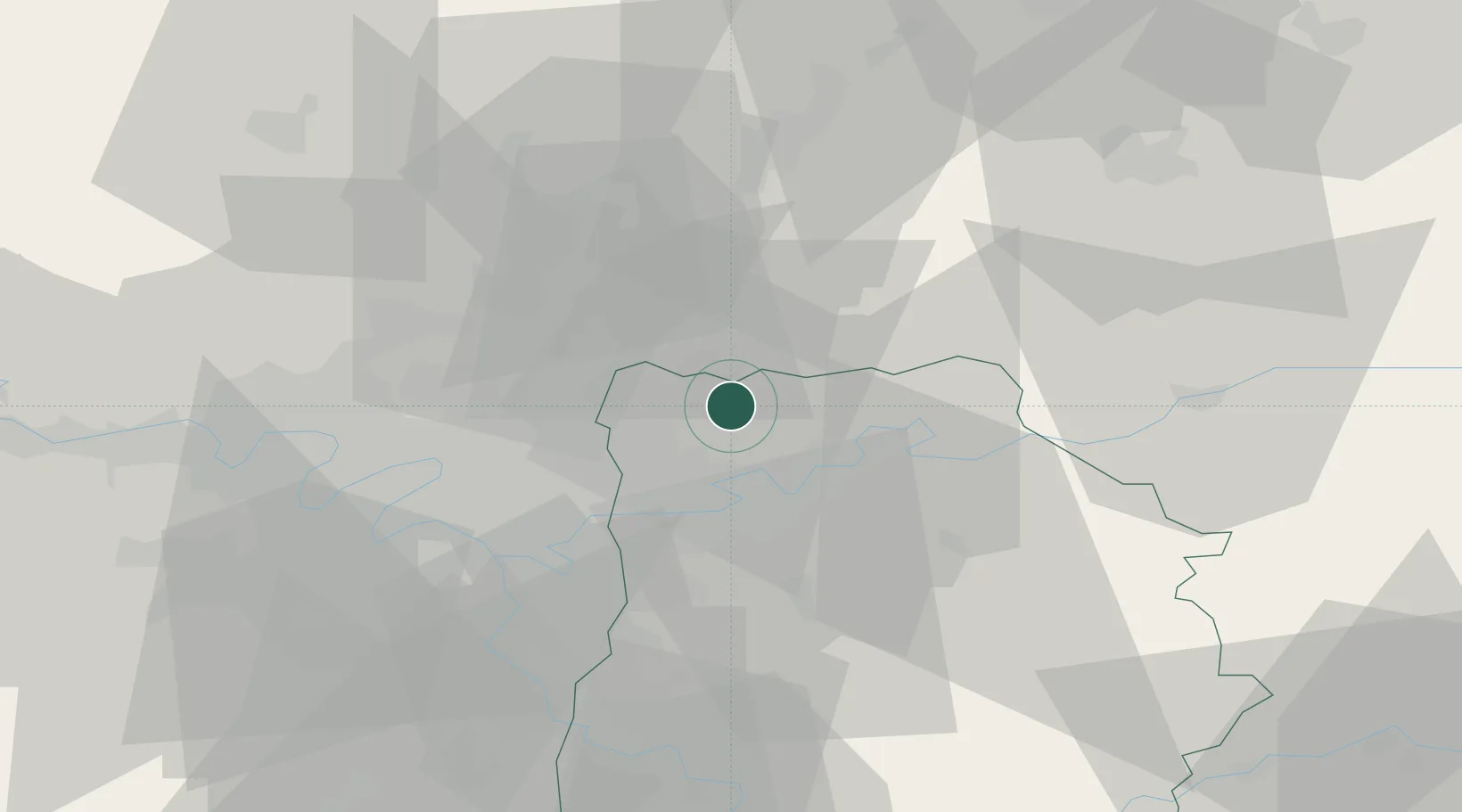
Location
Nearby Logistics Neighbours
Cities
- 1Dammartin-en-Goële5 km
- 2Villeneuve-sous-Dammartin9 km
- 3Messy9 km
- 4Le Mesnil-Amelot11 km
- 5Fresnes-sur-Marne11 km
Ports
- 1Port Of Rouen131 km
- 2Saint-Valery-Sur-Somme152 km
- 3Le Treport152 km
- 4Dieppe157 km
- 5Honfleur189 km
Airports
Trade Zones
- 1ZFU Meaux13 km
- 2ZFU Sevran20 km
- 3ZFU Clichy-sous-Bois et Montfermeil21 km
- 4ZFU Le Blanc-Mesnil, Dugny23 km
- 5ZFU Aulnay-sous-Bois24 km
DatabookThe Record of Consolidated Knowledge
France beyond logistics?