Transport Functions
Road
Multimodal
Hub Profile
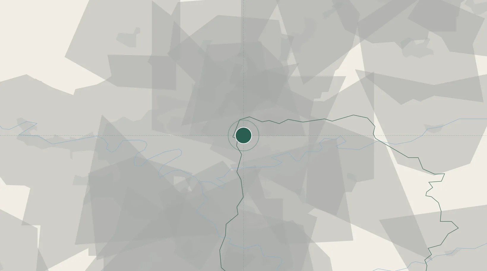
Place type
Populated place
Region
Île-de-France
Population
767
Time zone
Europe/Paris
Elevation
104 m
Location
Nearby Logistics Neighbours
Cities
- 1Villeneuve-sous-Dammartin3 km
- 2Charles-de-gaulle Apt/paris4 km
- 3Dammartin-en-Goële7 km
- 4Villepinte7 km
- 5Messy8 km
Ports
- 1Port Of Rouen121 km
- 2Le Treport147 km
- 3Saint-Valery-Sur-Somme148 km
- 4Dieppe150 km
- 5Honfleur179 km
Airports
Trade Zones
DatabookThe Record of Consolidated Knowledge
France beyond logistics?