Transport Functions
Port
Road
Hub Profile
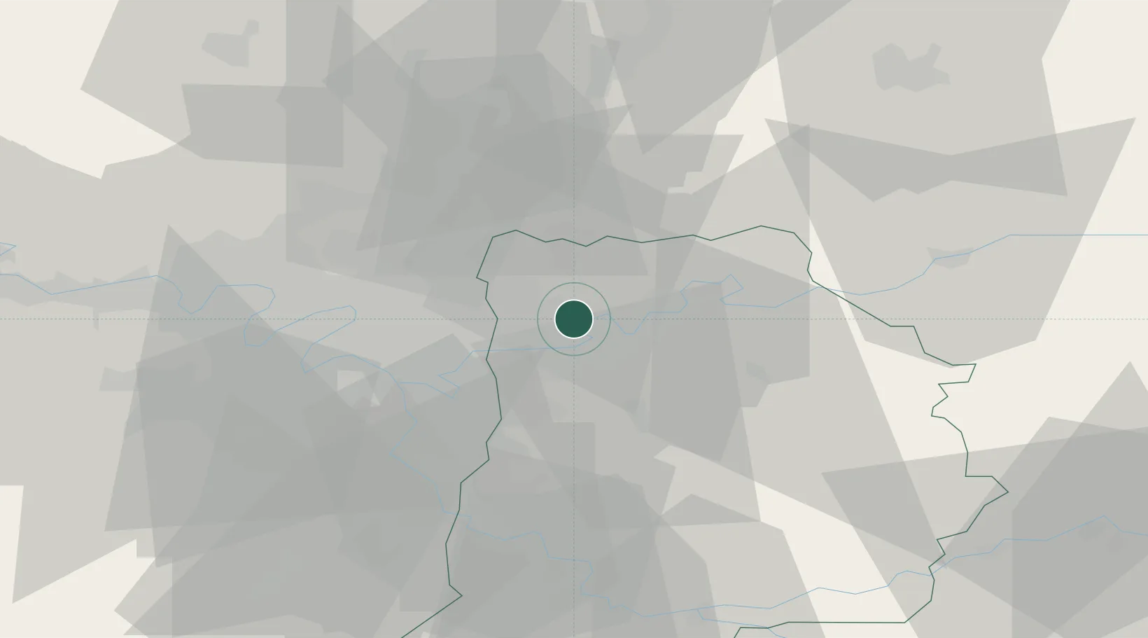
Place type
Populated place
Region
Île-de-France
Population
480
Time zone
Europe/Paris
Elevation
51 m
Location
Nearby Logistics Neighbours
Cities
- 1Précy-sur-Marne4 km
- 2Messy5 km
- 3Thorigny-sur-Marne6 km
- 4Chessy6 km
- 5Pomponne7 km
Ports
- 1Port Of Rouen134 km
- 2Le Treport160 km
- 3Saint-Valery-Sur-Somme161 km
- 4Dieppe163 km
- 5Honfleur191 km
Airports
Trade Zones
- 1ZFU Meaux12 km
- 2ZFU Clichy-sous-Bois et Montfermeil14 km
- 3ZFU Sevran15 km
- 4ZFU Neuilly-sur-Marne17 km
- 5ZFU Bondy19 km
DatabookThe Record of Consolidated Knowledge
France beyond logistics?