UN/LOCODE hub · France
FR3SM

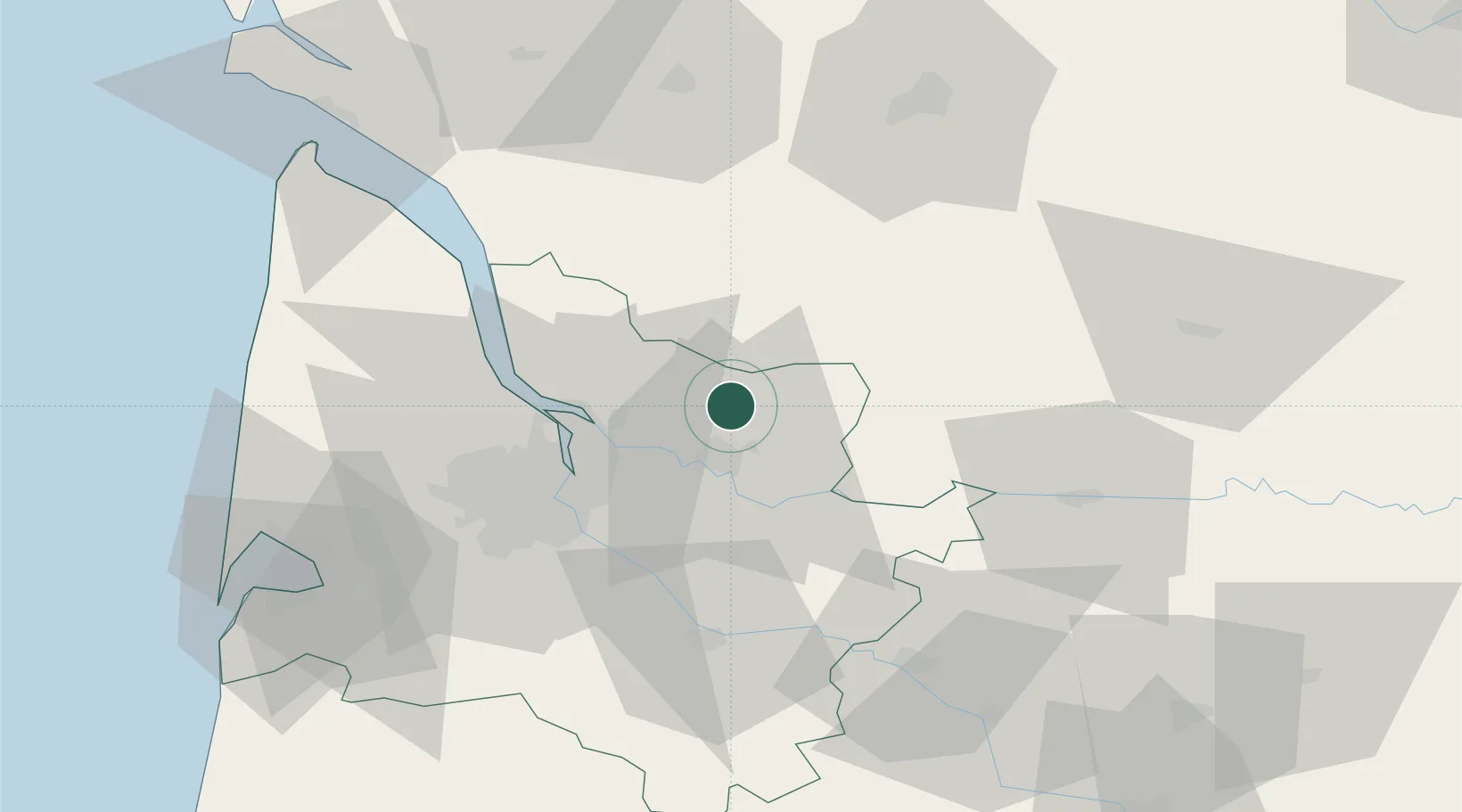
Saint-Martin-de-Laye

45.0333°, -0.2167°
417
Population
1
Transport functions

Transport Functions

Multimodal
UN/LOCODE

Hub Profile

Place type
Populated place
GeoNames
Region
Nouvelle-Aquitaine
GeoNames
Population
417
GeoNames
Time zone
Europe/Paris
GeoNames
Elevation
24 m
GeoNames

Location

Location of FR3SM
Natural Earth 10m (public domain) · Nouvelle-Aquitaine · FR3SM · 45.03, -0.22GoogleOSMYandex

Nearby Logistics Neighbours

Cities
  1. 1Bayas4 km
  2. 2Savignac-de-l'Isle6 km
  3. 3Maransin7 km
  4. 4Lagorce8 km
  5. 5Saillans8 km
Nearest neighbours — logibook spatial index (haversine) over the source coordinates
Ports
  1. 1Ambes25 km
  2. 2Bordeaux33 km
  3. 3Blaye37 km
  4. 4Pauillac46 km
  5. 5Le Verdon87 km
Nearest neighbours — logibook spatial index (haversine) over the source coordinates
Airports
  1. 1Bordeaux–Mérignac Airport45 km
  2. 2Bergerac Dordogne-Périgord airport62 km
  3. 3Cognac-Châteaubernard (BA 709) Air Base70 km
  4. 4Périgueux-Bassillac Airport83 km
  5. 5Angoulême Brie-Champniers airport85 km
Nearest neighbours — logibook spatial index (haversine) over the source coordinates
Trade Zones
  1. 1Port de Bordeaux29 km
  2. 2ZFU Hauts de Garonne36 km
  3. 3ZFU La Rochelle147 km
  4. 4ZFU Toulouse207 km
  5. 5Depósito Franco de Pasajes (Guipúzcoa)234 km
Nearest neighbours — logibook spatial index (haversine) over the source coordinates
DatabookThe Record of Consolidated Knowledge
France beyond logistics?
Browse databook

All Sources

LocationsUN/LOCODE
UN/LOCODE — free
LocationsGeoNames
CC BY 4.0
Portsthe NGA World Port Index
Public domain (US gov)
AirportsOurAirports
Public domain
Trade Zonesthe World Bank SEZ database
CC BY 4.0
Trade ZonesOpen Zone Map
CC BY
← France locations