Transport Functions
Rail
Road
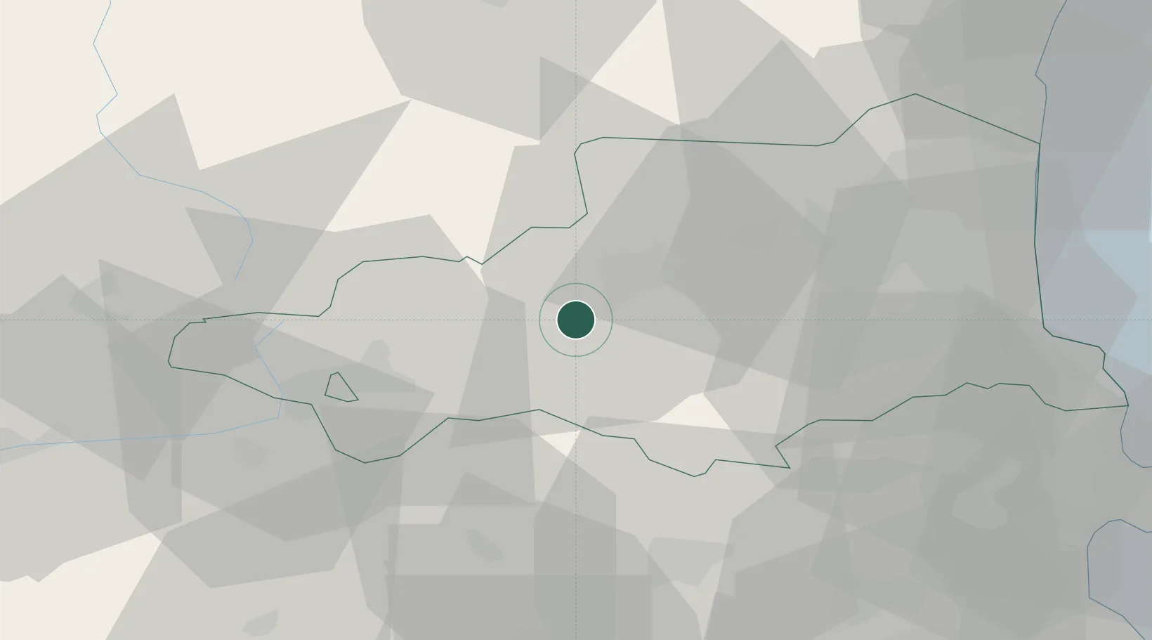
Hub Profile
Place type
Populated place
Region
Occitanie
Population
257
Time zone
Europe/Paris
Elevation
558 m
Location
Nearby Logistics Neighbours
Cities
- 1Sahorre5 km
- 2Vinça19 km
- 3La Cabanasse19 km
- 4Tarerach20 km
- 5Ille-sur-Têt26 km
Ports
- 1Port-Vendres64 km
- 2Rosas77 km
- 3Port-La-Nouvelle78 km
- 4Palamos104 km
- 5San Feliu De Guixols105 km
Airports
Trade Zones
- 1ZFU Perpignan48 km
- 2ZFU Béziers112 km
- 3ZFU Toulouse136 km
- 4Zona Franca de Barcelona138 km
- 5ZFU Montpellier169 km
DatabookThe Record of Consolidated Knowledge
France beyond logistics?