Transport Functions
Port
Hub Profile
Place type
Populated place
Region
Rhône-Alpes
Population
250
Time zone
Europe/Paris
Elevation
461 m
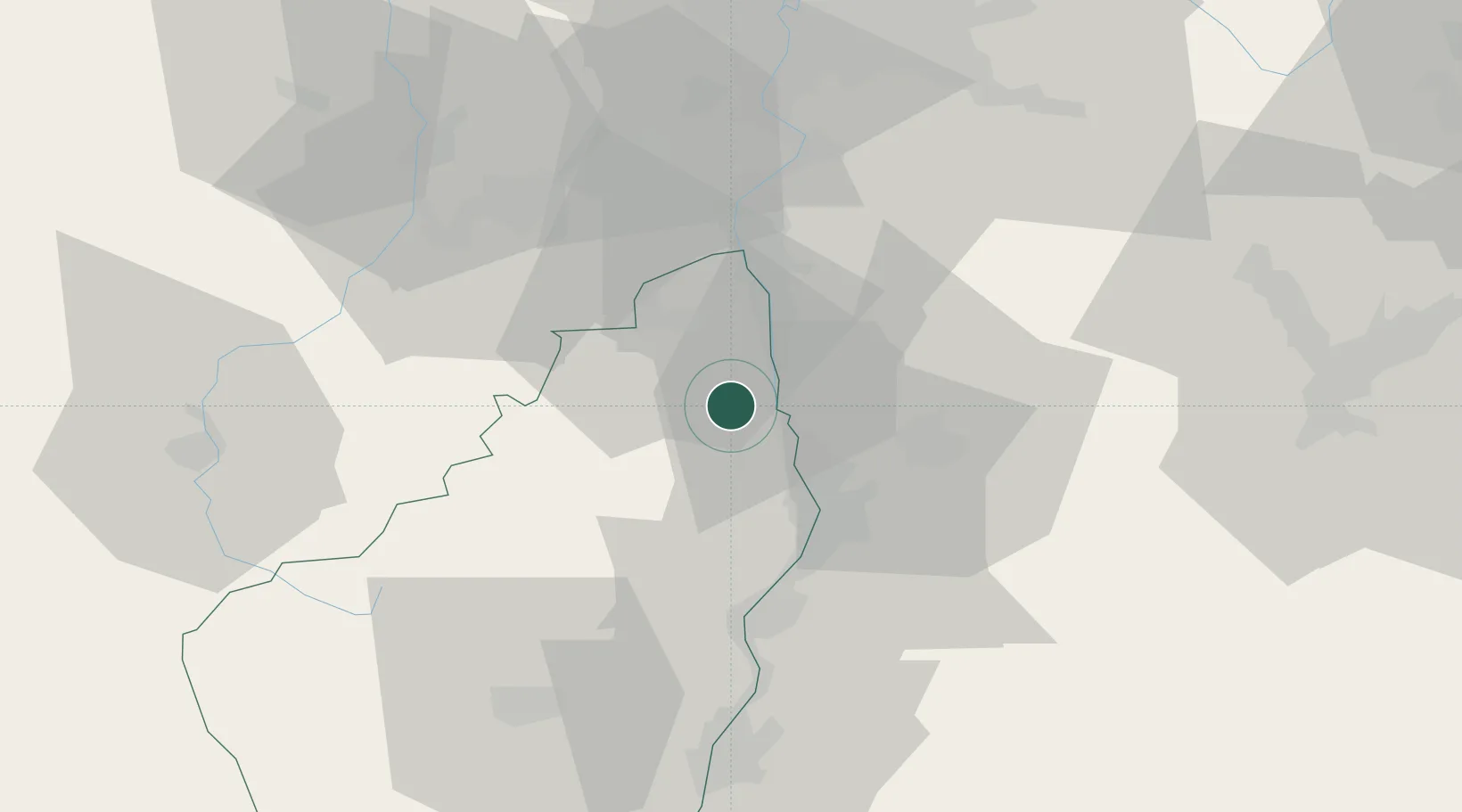
Location
Nearby Logistics Neighbours
Cities
- 1Arras-sur-Rhône4 km
- 2Érôme5 km
- 3Saint-Jean-de-Muzols6 km
- 4Saint-Vallier8 km
- 5Sarras8 km
Ports
- 1Fos189 km
- 2Port-de-Bouc192 km
- 3Port Saint Louis Du Rhone193 km
- 4Marseille206 km
- 5Sete208 km
Airports
Trade Zones
- 1ZFU Valence23 km
- 2ZFU Saint-Etienne49 km
- 3ZFU Vénissieux65 km
- 4ZFU Lyon 9e73 km
- 5ZFU Grenoble73 km
DatabookThe Record of Consolidated Knowledge
France beyond logistics?