Transport Functions
Multimodal
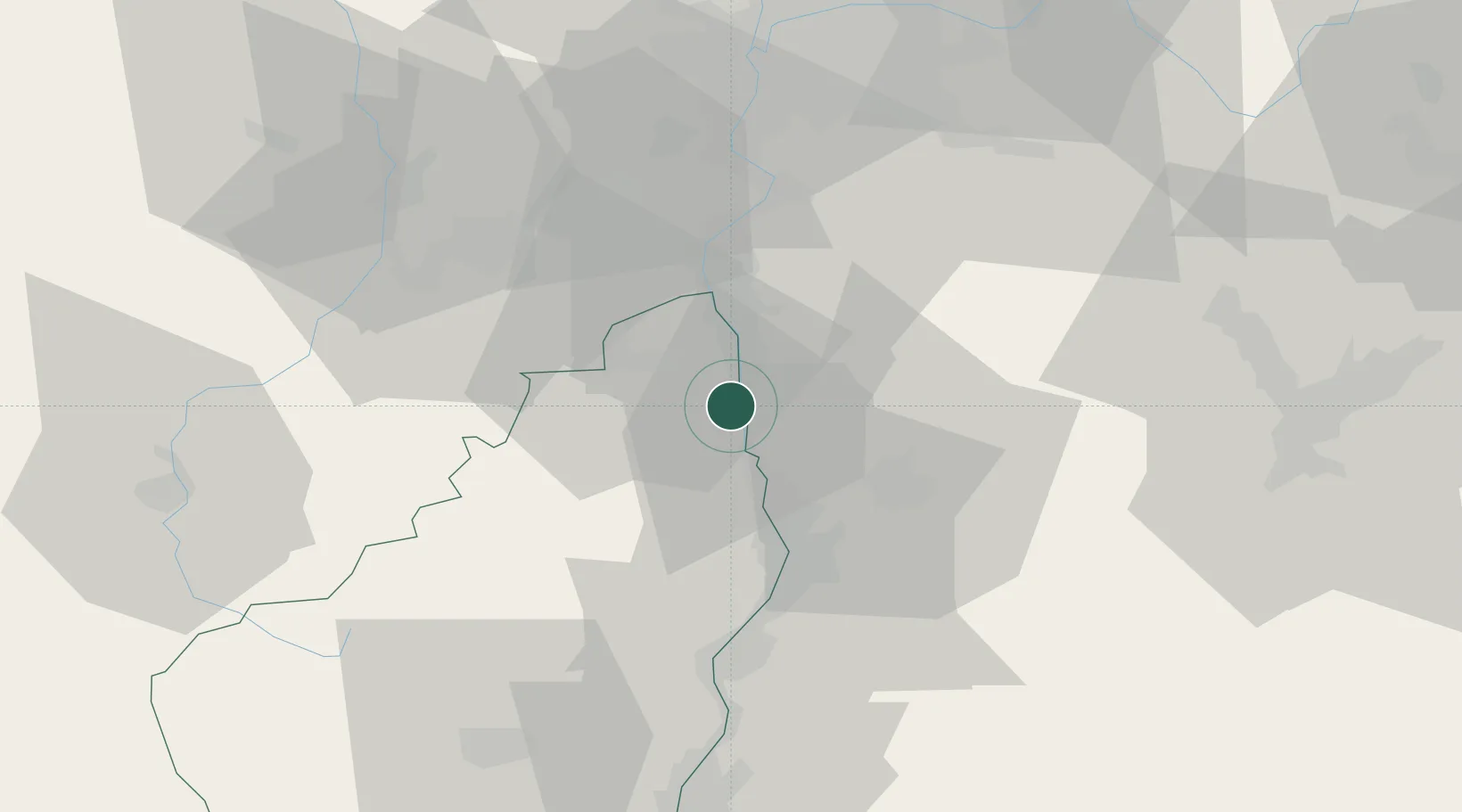
Hub Profile
Place type
Populated place
Region
Rhône-Alpes
Population
1,918
Time zone
Europe/Paris
Elevation
134 m
Location
Nearby Logistics Neighbours
Cities
- 1Saint-Vallier2 km
- 2Laveyron3 km
- 3Arras-sur-Rhône6 km
- 4Andancette6 km
- 5Saint-Désirat8 km
Ports
- 1Fos197 km
- 2Port-de-Bouc199 km
- 3Port Saint Louis Du Rhone200 km
- 4Marseille212 km
- 5Sete217 km
Airports
Trade Zones
- 1ZFU Valence29 km
- 2ZFU Saint-Etienne48 km
- 3ZFU Vénissieux57 km
- 4ZFU Lyon 9e66 km
- 5ZFU Vaulx-en-Velin67 km
DatabookThe Record of Consolidated Knowledge
France beyond logistics?