UN/LOCODE hub · France
FRDBJ

Monbadon

44.9333°, -0.5000°
1
Transport functions

Transport Functions

Multimodal
UN/LOCODE

Hub Profile

Place type
Populated place
GeoNames
Region
Nouvelle-Aquitaine
GeoNames
Time zone
Europe/Paris
GeoNames
Elevation
72 m
GeoNames

Location

Location of FRDBJ
Natural Earth 10m (public domain) · Nouvelle-Aquitaine · FRDBJ · 44.93, -0.50GoogleOSMYandex

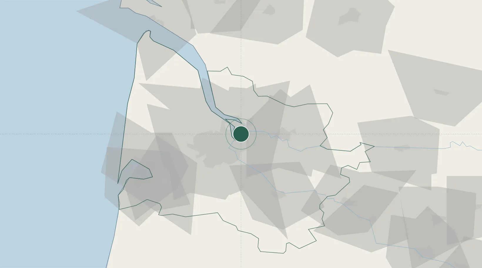
Nearby Logistics Neighbours

Cities
  1. 1Saint-Louis-de-Montferrand3 km
  2. 2Bassens4 km
  3. 3Cubzac-les-Ponts5 km
  4. 4Saint-Loubès6 km
  5. 5Bordeaux7 km
Nearest neighbours — logibook spatial index (haversine) over the source coordinates
Ports
  1. 1Bordeaux9 km
  2. 2Ambes10 km
  3. 3Blaye26 km
  4. 4Pauillac36 km
  5. 5Le Verdon81 km
Nearest neighbours — logibook spatial index (haversine) over the source coordinates
Airports
  1. 1Bordeaux–Mérignac Airport21 km
  2. 2Aérodrome d'Arcachon-La Teste-de-Buch61 km
  3. 3Cazaux (BA 120) Air Base67 km
  4. 4Bergerac Dordogne-Périgord airport81 km
  5. 5Cognac-Châteaubernard (BA 709) Air Base82 km
Nearest neighbours — logibook spatial index (haversine) over the source coordinates
Trade Zones
  1. 1Port de Bordeaux4 km
  2. 2ZFU Hauts de Garonne13 km
  3. 3ZFU La Rochelle147 km
  4. 4Depósito Franco de Pasajes (Guipúzcoa)212 km
  5. 5ZFU Toulouse214 km
Nearest neighbours — logibook spatial index (haversine) over the source coordinates
DatabookThe Record of Consolidated Knowledge
France beyond logistics?
Browse databook

All Sources

LocationsUN/LOCODE
UN/LOCODE — free
Portsthe NGA World Port Index
Public domain (US gov)
AirportsOurAirports
Public domain
Trade Zonesthe World Bank SEZ database
CC BY 4.0
Trade ZonesOpen Zone Map
CC BY
← France locations