Transport Functions
Rail
Road
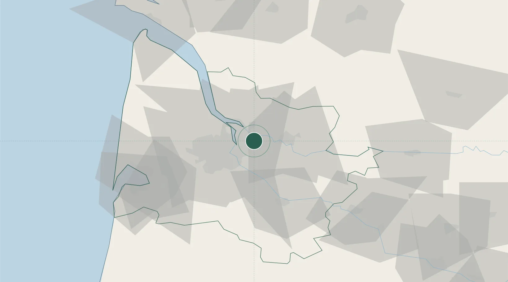
Hub Profile
Place type
Populated place
Region
Nouvelle-Aquitaine
Population
7,678
Time zone
Europe/Paris
Elevation
25 m
Location
Nearby Logistics Neighbours
Cities
- 1Izon5 km
- 2Monbadon6 km
- 3Yvrac6 km
- 4Cubzac-les-Ponts6 km
- 5Saint-Romain-la-Virvée6 km
Airports
Trade Zones
- 1Port de Bordeaux8 km
- 2ZFU Hauts de Garonne15 km
- 3ZFU La Rochelle151 km
- 4ZFU Toulouse209 km
- 5Depósito Franco de Pasajes (Guipúzcoa)214 km
DatabookThe Record of Consolidated Knowledge
France beyond logistics?