UN/LOCODE hub · France
FRCCP
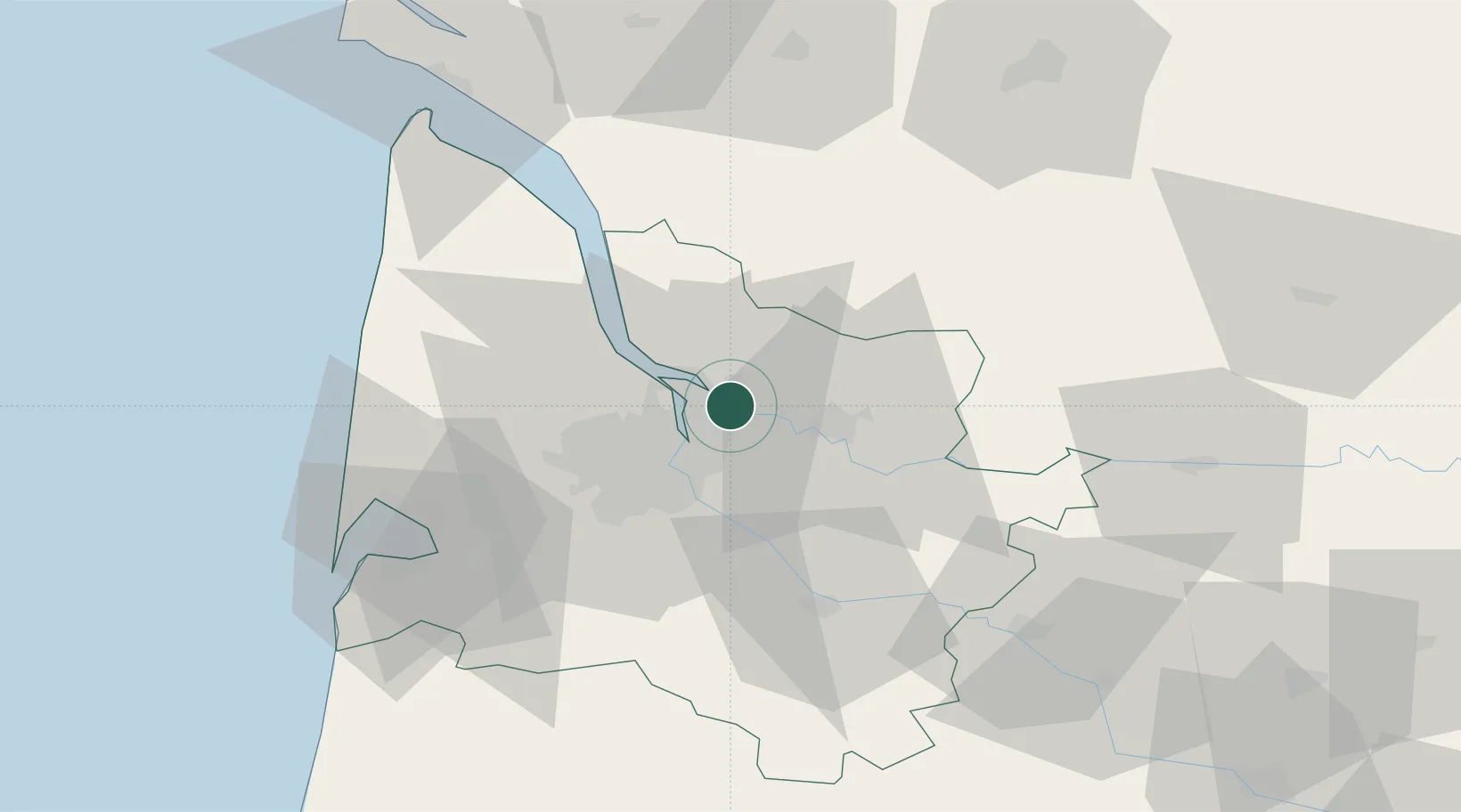
Cubzac-les-Ponts
44.9667°, -0.4500°
1,937
Population
3
Transport functions
Transport Functions
Port
Rail
Road
Hub Profile
Place type
Populated place
Region
Nouvelle-Aquitaine
Population
1,937
Time zone
Europe/Paris
Elevation
31 m
Location
Nearby Logistics Neighbours
Cities
- 1Saint-Romain-la-Virvée4 km
- 2Monbadon5 km
- 3La Lande-de-Fronsac6 km
- 4Saint-Loubès6 km
- 5Saint-Louis-de-Montferrand7 km
Airports
Trade Zones
- 1Port de Bordeaux9 km
- 2ZFU Hauts de Garonne18 km
- 3ZFU La Rochelle146 km
- 4ZFU Toulouse214 km
- 5Depósito Franco de Pasajes (Guipúzcoa)217 km
DatabookThe Record of Consolidated Knowledge
France beyond logistics?